 Old Cumbria Gazetteer
 |
 |
|
| Valley View, Underbarrow and Bradleyfield | ||
| Valley View | ||
| civil parish:- | Underbarrow and Bradleyfield (formerly Westmorland) | |
| county:- | Cumbria | |
| locality type:- | buildings | |
| coordinates:- | SD47279217 | |
| 1Km square:- | SD4792 | |
| 10Km square:- | SD49 | |
|
|
||
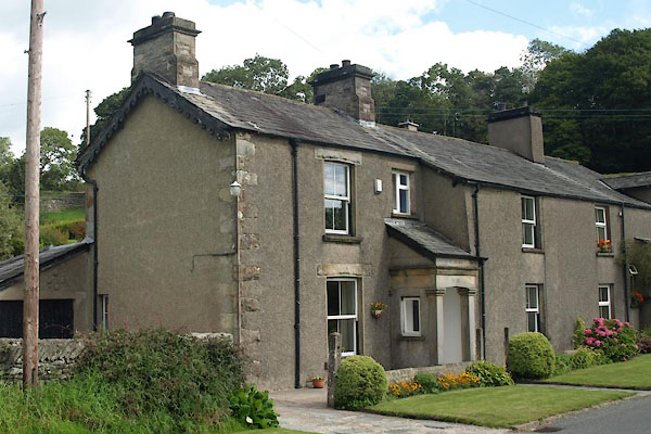 BTK93.jpg (taken 27.8.2010) 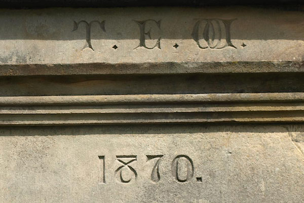 BTK94.jpg Date stone:- "T.E.W. / 1870." (taken 27.8.2010) |
||
|
|
||
| evidence:- | old map:- OS County Series (Wmd 38 6) placename:- Smithy House |
|
| source data:- | Maps, County Series maps of Great Britain, scales 6 and 25
inches to 1 mile, published by the Ordnance Survey, Southampton,
Hampshire, from about 1863 to 1948. |
|
|
|
||
 Lakes Guides menu.