 Old Cumbria Gazetteer
 |
 |
|
| Townhead, Rockcliffe | ||
| Townhead | ||
| Town Head | ||
| civil parish:- | Rockcliffe (formerly Cumberland) | |
| county:- | Cumbria | |
| locality type:- | buildings | |
| coordinates:- | NY36036151 | |
| 1Km square:- | NY3661 | |
| 10Km square:- | NY36 | |
| references:- | Listed Buildings 2010 |
|
|
|
||
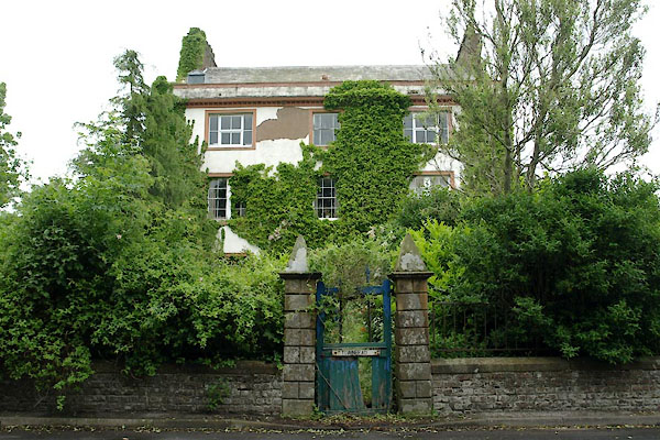 BWT43.jpg (taken 15.6.2012) 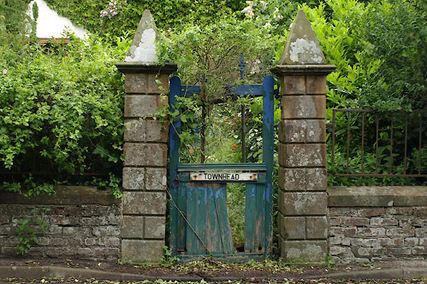 BWT44.jpg Gate. (taken 15.6.2012) |
||
|
|
||
| evidence:- | old map:- OS County Series (Cmd 16 6) placename:- Townhead |
|
| source data:- | Maps, County Series maps of Great Britain, scales 6 and 25
inches to 1 mile, published by the Ordnance Survey, Southampton,
Hampshire, from about 1863 to 1948. |
|
|
|
||
| evidence:- | database:- Listed Buildings 2010 placename:- Town Head |
|
| source data:- | courtesy of English Heritage "TOWN HEAD / / / ROCKCLIFFE / CARLISLE / CUMBRIA / II / 77945 / NY3603361515" |
|
|
|
||
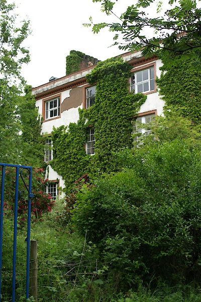 BWT45.jpg (taken 15.6.2012) 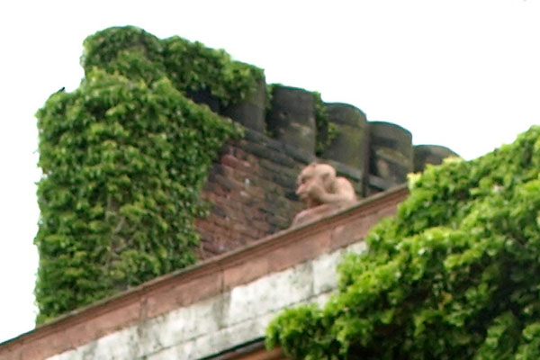 BWT46.jpg Carving on roof parapet. (taken 15.6.2012) |
||
|
|
||
 Lakes Guides menu.