 Old Cumbria Gazetteer
 |
 |
|
| Strand Bridge, Lower Holker | ||
| Strand Bridge | ||
| civil parish:- | Lower Holker (formerly Lancashire) | |
| county:- | Cumbria | |
| locality type:- | bridge | |
| coordinates:- | SD35277538 | |
| 1Km square:- | SD3575 | |
| 10Km square:- | SD37 | |
| references:- | Listed Buildings 2010 |
|
|
|
||
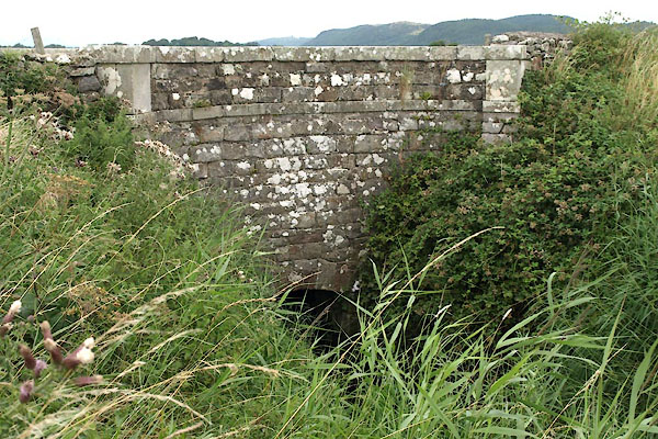 BZA67.jpg South face, toward marsh. (taken 9.8.2013) 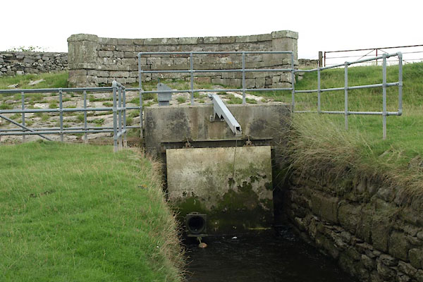 BZA68.jpg North Face, toward the sea, with added structures. (taken 9.8.2013) |
||
|
|
||
| evidence:- | old map:- OS County Series (Lan 17 10) placename:- Strand Bridge |
|
| source data:- | Maps, County Series maps of Great Britain, scales 6 and 25
inches to 1 mile, published by the Ordnance Survey, Southampton,
Hampshire, from about 1863 to 1948. |
|
|
|
||
| evidence:- | database:- Listed Buildings 2010 placename:- Strand Bridge item:- date stone (1797) |
|
| source data:- | courtesy of English Heritage "STRAND BRIDGE / / / LOWER HOLKER / SOUTH LAKELAND / CUMBRIA / II / 77027 / SD3527175388" |
|
| source data:- | courtesy of English Heritage "Bridge over drainage ditch. Datestone inscribed: 1797, with later addition. Dressed stone. Curved parapets with end piers and flat bands. North side has later segmental arched addition partly covering datestone. South side has low segmental arch. Associated with drainage and enclosure of land in the parish in the late C18." |
|
|
|
||
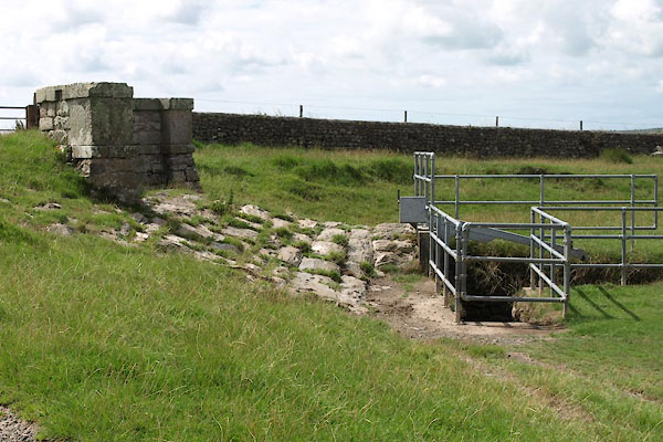 BZA86.jpg North side. (taken 9.8.2013) 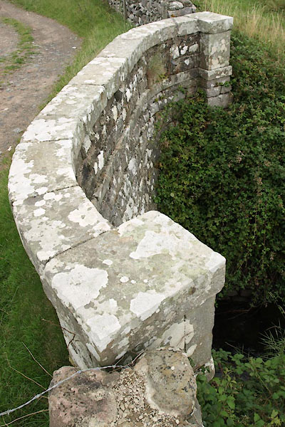 BZA71.jpg Parapet, south side. (taken 9.8.2013) 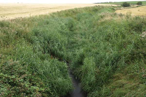 BZA69.jpg Drain on marsh side, to south. (taken 9.8.2013) 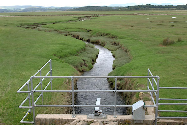 BZA70.jpg Drain on sea side, to north. (taken 9.8.2013) |
||
|
|
||
 Lakes Guides menu.