 Old Cumbria Gazetteer
 |
 |
|
| viewpoint, Castlerigg Stone Circle | ||
| site name:- | Castlerigg Stone Circle | |
| civil parish:- | St John's Castlerigg and Wythburn (formerly Cumberland) | |
| county:- | Cumbria | |
| locality type:- | viewpoint | |
| locality type:- | outline view | |
| coordinates:- | NY29122372 | |
| 1Km square:- | NY2923 | |
| 10Km square:- | NY22 | |
|
|
||
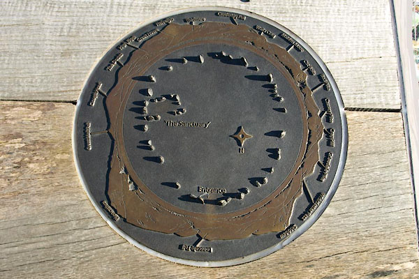 BUF95.jpg (taken 18.3.2011) 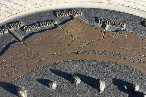 BUF96.jpg Detail, Helvellyn etc. (taken 18.3.2011) |
||
|
|
||
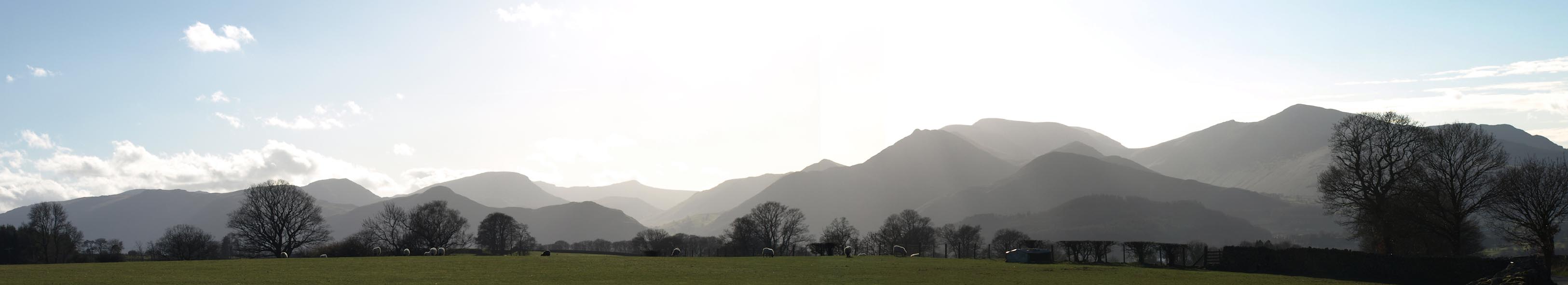
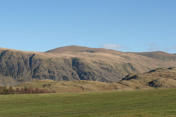 BUF97.jpg What you see in the 'Helvellyn direction' is High Rigg (taken 18.3.2011) 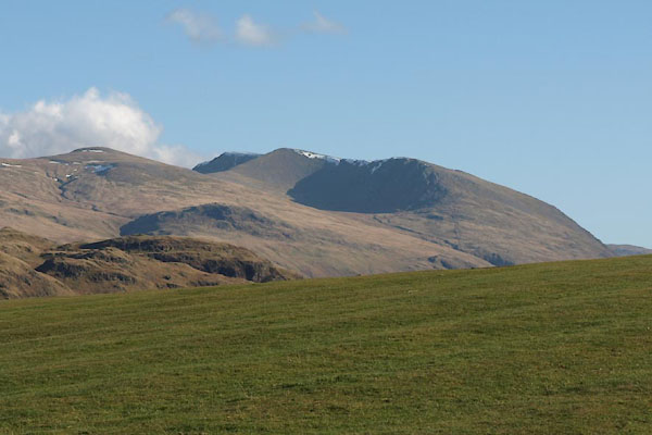 BUG01.jpg Helvellyn is 45degrees to the right. (taken 18.3.2011) 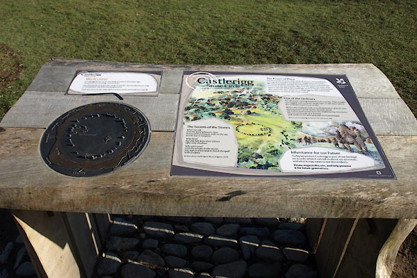 BUG02.jpg Perhaps if the intrepretive panel had not been set 45degrees to the entrance path all would have been well. (taken 18.3.2011) |
||
| An attractive topograph and outline view is mounted at each of he entrance gates to
the Castlerigg Stone Circle site. |
||
| Sadly the device is presented 45degrees out of correct alignment. |
||
|
|
||
 Click to enlarge BUG31.jpg The view to the west (roughly); from just nearby, (taken 18.3.2011) |
||
|
|
||
 Lakes Guides menu.