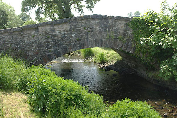


BYM68.jpg (taken 7.6.2013)

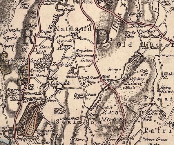
J5SD58NW.jpg
double line, road, across a stream; bridge; the land here is much altered by canal building
item:- National Library of Scotland : EME.s.47
Image © National Library of Scotland
placename:- Stainton Bridge
courtesy of English Heritage
"STAINTON BRIDGE OVER PEASY BECK IMMEDIATELY SOUTH WEST OF STAINTON BRIDGE END FARM NGR 5228 8523 / / / STAINTON / SOUTH LAKELAND / CUMBRIA / II / 76543 / SD5228085230"
courtesy of English Heritage
"Road bridge. Possibly C17 or early C18. Limestone rubble with limestone copings and voussoirs. Single shallow segmental arch, long sloping parapets."

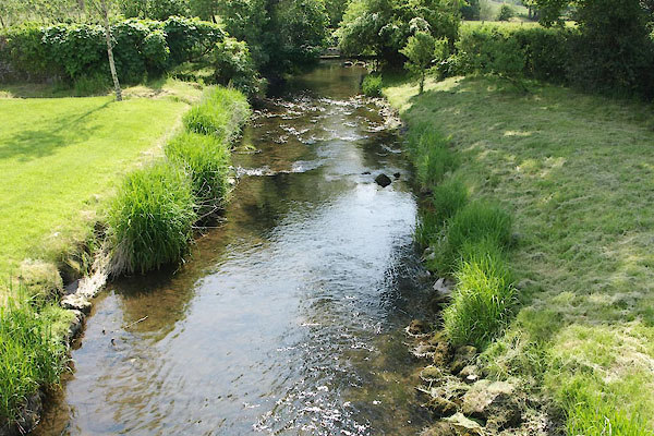
BYM69.jpg View of river.
(taken 7.6.2013)

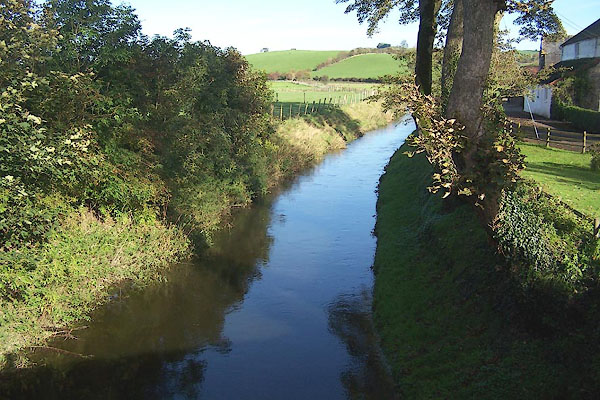
BMX72.jpg View of river.
From Deepthwaite Bridge.
(taken 29.10.2006)

 Lakes Guides menu.