 Old Cumbria Gazetteer
 |
 |
|
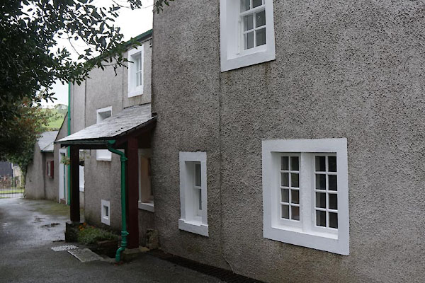
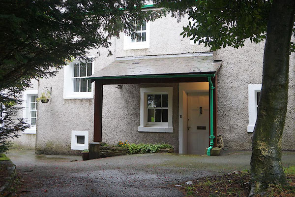
| Vicarage, Torpenhow | ||
| Vicarage | ||
| St Michael's Vicarage | ||
| locality:- | Torpenhow | |
| civil parish:- | Blennerhasset and Torpenhow (formerly Cumberland) | |
| county:- | Cumbria | |
| locality type:- | buildings | |
| coordinates:- | NY20543979 | |
| 1Km square:- | NY2039 | |
| 10Km square:- | NY23 | |
| references:- | Listed Buildings 2010 |
|
|
|
||
 CBV35.jpg (taken 10.10.2014) 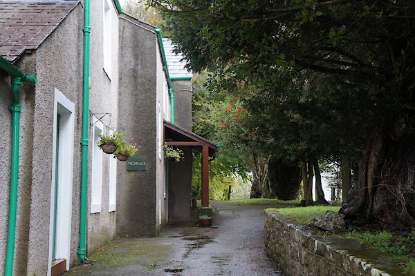 CBV03.jpg (taken 10.10.2014) |
||
|
|
||
| evidence:- | old map:- OS County Series (Cmd 36 15) placename:- Vicarage, The |
|
| source data:- | Maps, County Series maps of Great Britain, scales 6 and 25
inches to 1 mile, published by the Ordnance Survey, Southampton,
Hampshire, from about 1863 to 1948. |
|
|
|
||
| evidence:- | database:- Listed Buildings 2010 placename:- St Michael's Vicarage |
|
| source data:- | courtesy of English Heritage "ST MICHAEL'S VICARAGE / / / BLENNERHASSET AND TORPENHOW / ALLERDALE / CUMBRIA / II / 72322 / NY2054639790" |
|
|
|
||
 CBV04.jpg (taken 10.10.2014) |
||
|
|
||
 Lakes Guides menu.