 Old Cumbria Gazetteer
 |
 |
|
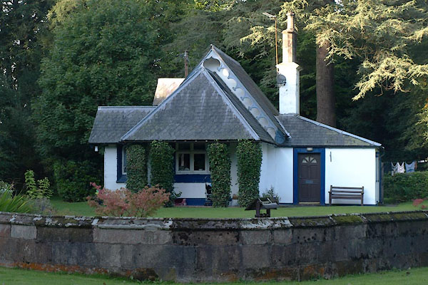
| South Lodge, Netherby | ||
| South Lodge | ||
| site name:- | Netherby | |
| civil parish:- | Arthuret (formerly Cumberland) | |
| county:- | Cumbria | |
| locality type:- | buildings | |
| coordinates:- | NY39057057 | |
| 1Km square:- | NY3970 | |
| 10Km square:- | NY37 | |
| references:- | Listed Buildings 2010 |
|
|
|
||
 BZK14.jpg (taken 27.9.2013) |
||
|
|
||
| evidence:- | old map:- OS County Series (Cmd 6 15) |
|
| source data:- | Maps, County Series maps of Great Britain, scales 6 and 25
inches to 1 mile, published by the Ordnance Survey, Southampton,
Hampshire, from about 1863 to 1948. "Lodge" |
|
|
|
||
| evidence:- | database:- Listed Buildings 2010 placename:- South Lodge |
|
| source data:- | courtesy of English Heritage "SOUTH LODGE / / / ARTHURET / CARLISLE / CUMBRIA / II / 78107 / NY3903870565" |
|
|
|
||
 Lakes Guides menu.