 Old Cumbria Gazetteer
 |
 |
|
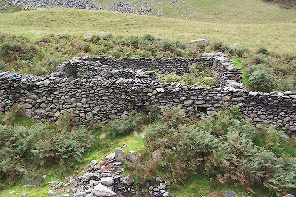
| sheepfold, Dunnerdale-with-Seathwaite | ||
| locality:- | Dunnerdale Fells | |
| civil parish:- | Dunnerdale-with-Seathwaite (formerly Lancashire) | |
| county:- | Cumbria | |
| locality type:- | sheepfold | |
| coordinates:- | SD22229442 | |
| 1Km square:- | SD2294 | |
| 10Km square:- | SD29 | |
|
|
||
 BTL62.jpg (taken 25.8.2010) 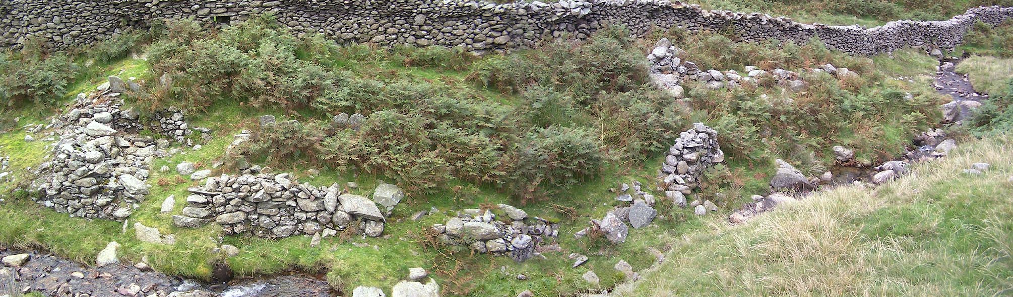 Click to enlarge BTL63.jpg (taken 25.8.2010) |
||
|
|
||
| evidence:- | old map:- OS County Series (Lan 3) |
|
| source data:- | Maps, County Series maps of Great Britain, scales 6 and 25
inches to 1 mile, published by the Ordnance Survey, Southampton,
Hampshire, from about 1863 to 1948. and remains of a sheep wash |
|
|
|
||
 Lakes Guides menu.