 Old Cumbria Gazetteer
 |
 |
|
| Scaleburn Bridge, Alston Moor | ||
| Scaleburn Bridge | ||
| site name:- | ||
| civil parish:- | Alston Moor (formerly Cumberland) | |
| county:- | Cumbria | |
| locality type:- | bridge | |
| coordinates:- | NY78994357 | |
| 1Km square:- | NY7843 | |
| 10Km square:- | NY74 | |
|
|
||
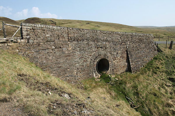 BUJ93.jpg (taken 23.4.2011) 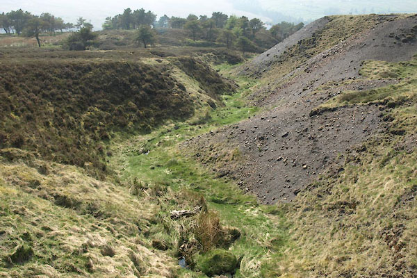 BUJ94.jpg Beck at this bridge, perhaps the Scale Burn? (taken 23.4.2011) |
||
|
|
||
| evidence:- | old map:- Bell 1892 placename:- Scale Burn Bridge |
|
| source data:- | Map, colour lithograph, Road Map of Cumberland, by George Joseph
Bell, scale about 2.5 miles to 1 inch, printed by Charles
Thurnam and Sons, Carlisle, Cumberland, 1892.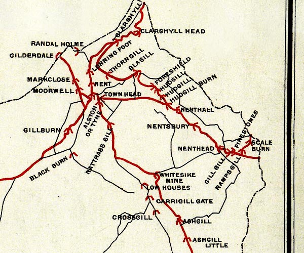 BEL9NY74.jpg "SCALE BURN" bridge symbol Road map of Cumberland showing County Bridges item:- Carlisle Library : Map 38 Image © Carlisle Library |
|
|
|
||
 Lakes Guides menu.