 Old Cumbria Gazetteer
 |
 |
|
| Rossil Bridge, Whinfell | ||
| Rossil Bridge | ||
| site name:- | Mint, River | |
| civil parish:- | Whinfell (formerly Westmorland) | |
| county:- | Cumbria | |
| locality type:- | bridge | |
| coordinates:- | SD55339968 | |
| 1Km square:- | SD5599 | |
| 10Km square:- | SD59 | |
| references:- | Listed Buildings 2010 |
|
|
|
||
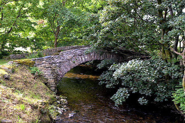 CGI61.jpg (taken 10.8.2017) |
||
|
|
||
| evidence:- | old map:- OS County Series (Wmd 34 2) placename:- Rosil Bridge |
|
| source data:- | Maps, County Series maps of Great Britain, scales 6 and 25
inches to 1 mile, published by the Ordnance Survey, Southampton,
Hampshire, from about 1863 to 1948. |
|
|
|
||
| evidence:- | database:- Listed Buildings 2010 placename:- Rossil Bridge |
|
| source data:- | courtesy of English Heritage "ROSSIL BRIDGE / / / WHINFELL / SOUTH LAKELAND / CUMBRIA / II / 75753 / SD5533999687" |
|
| source data:- | courtesy of English Heritage "Bridge over river Mint. Probably C17 or C18. Stone rubble. Segmental arch with low parapet. Roadway approx. 3m wide." |
|
|
|
||
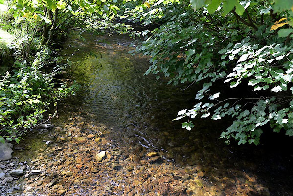 CGI62.jpg View of river. (taken 10.8.2017) |
||
|
|
||
 Lakes Guides menu.