 Old Cumbria Gazetteer
 |
 |
|
| railway bridge, Ulverston (7) | ||
| site name:- | Conishead Priory branch railway | |
| site name:- | Ulverston Canal | |
| locality:- | Ulverston | |
| civil parish:- | Ulverston (formerly Lancashire) | |
| county:- | Cumbria | |
| locality type:- | railway bridge | |
| locality type:- | canal bridge | |
| coordinates:- | SD30417806 | |
| 1Km square:- | SD3078 | |
| 10Km square:- | SD37 | |
|
|
||
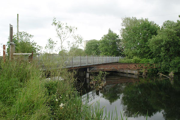 BWV57.jpg (taken 13.7.2012) 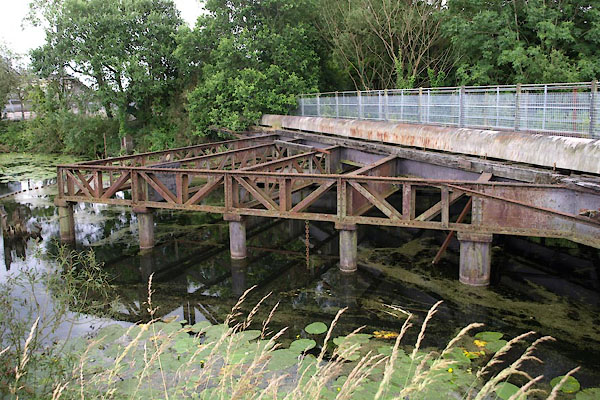 BWV58.jpg (taken 13.7.2012) |
||
|
|
||
| evidence:- | old map:- OS County Series (Lan 16 4) item:- railway signal |
|
| source data:- | Maps, County Series maps of Great Britain, scales 6 and 25
inches to 1 mile, published by the Ordnance Survey, Southampton,
Hampshire, from about 1863 to 1948.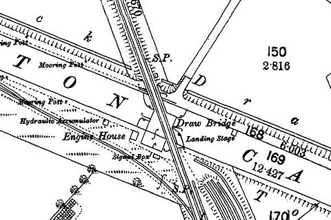 click to enlarge click to enlargeCSRY0150.jpg "Draw Bridge / Signal Box / S.P." |
|
|
|
||
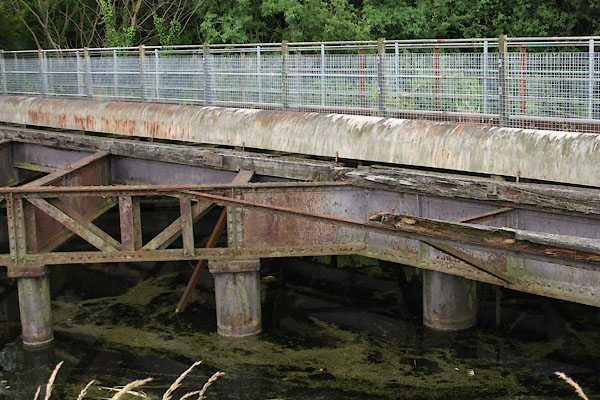 BWV59.jpg (taken 13.7.2012) 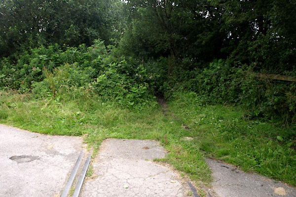 BWV60.jpg View E. (taken 13.7.2012) 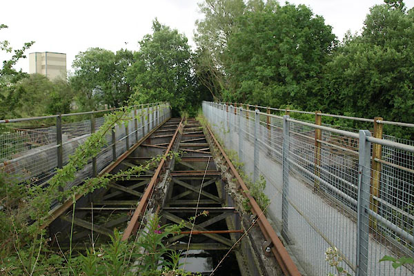 BWV61.jpg View W. (taken 13.7.2012) 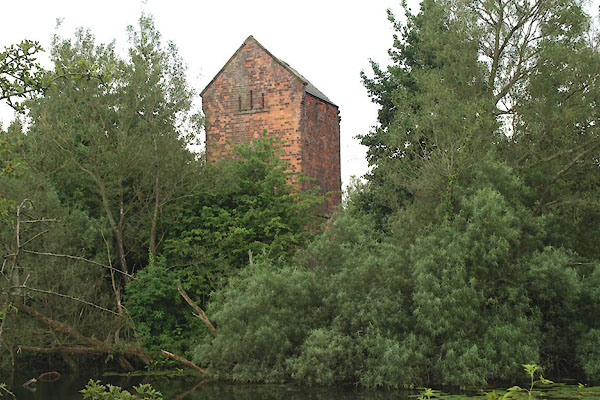 BWV63.jpg Hydraulic accumulator, which seems to be related. (taken 13.7.2012) |
||
|
|
||
 Lakes Guides menu.