 Old Cumbria Gazetteer
 |
 |
|
| Queen's Club, Kendal | ||
| Queen's Club | ||
| Street:- | Highgate | |
| civil parish:- | Kendal (formerly Westmorland) | |
| county:- | Cumbria | |
| locality type:- | buildings | |
| coordinates:- | SD51519222 | |
| 1Km square:- | SD5192 | |
| 10Km square:- | SD59 | |
| references:- | Listed Buildings 2010 |
|
|
|
||
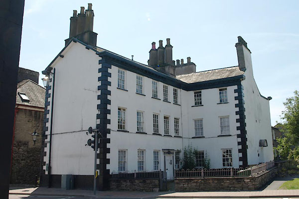 BUW53.jpg (taken 3.7.2011) 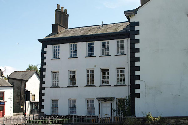 BUW54.jpg (taken 3.7.2011) |
||
|
|
||
| evidence:- | old map:- OS County Series (Wmd 38 8) placename:- Blindbeck House |
|
| source data:- | Maps, County Series maps of Great Britain, scales 6 and 25
inches to 1 mile, published by the Ordnance Survey, Southampton,
Hampshire, from about 1863 to 1948. |
|
|
|
||
| evidence:- | database:- Listed Buildings 2010 placename:- Queen's Club |
|
| source data:- | courtesy of English Heritage "QUEEN'S CLUB / 150 / HIGHGATE / KENDAL / SOUTH LAKELAND / CUMBRIA / II / 75410 / SD5150292223" |
|
|
|
||
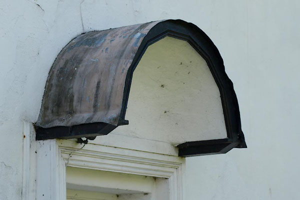 BUW55.jpg Door hood. (taken 3.7.2011) |
||
|
|
||
 Lakes Guides menu.