 Old Cumbria Gazetteer
 |
 |
|
| Quarrybrow, Hethersgill | ||
| Quarrybrow | ||
| civil parish:- | Hethersgill (formerly Cumberland) | |
| county:- | Cumbria | |
| locality type:- | buildings | |
| coordinates:- | NY46726629 | |
| 1Km square:- | NY4666 | |
| 10Km square:- | NY46 | |
| references:- | Listed Buildings 2010 |
|
|
|
||
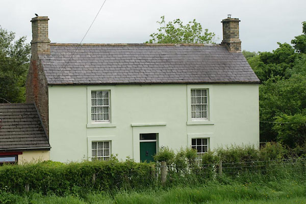 BYO21.jpg (taken 14.6.2013) |
||
|
|
||
| evidence:- | old map:- OS County Series (Cmd 11 10) placename:- Quarrybrow |
|
| source data:- | Maps, County Series maps of Great Britain, scales 6 and 25
inches to 1 mile, published by the Ordnance Survey, Southampton,
Hampshire, from about 1863 to 1948. |
|
|
|
||
| evidence:- | database:- Listed Buildings 2010 placename:- Quarrybrow |
|
| source data:- | courtesy of English Heritage "QUARRYBROW / / / HETHERSGILL / CARLISLE / CUMBRIA / II / 77886 / NY4672666297" |
|
|
|
||
 Lakes Guides menu.