 Old Cumbria Gazetteer
 |
 |
|
| Plumgarths Cottages, Strickland Ketel | ||
| Plumgarths Cottages | ||
| Low Plumgarths | ||
| Street:- | Crook Road | |
| locality:- | Plumgarths | |
| civil parish:- | Strickland Ketel (formerly Westmorland) | |
| county:- | Cumbria | |
| locality type:- | buildings | |
| coordinates:- | SD49579461 | |
| 1Km square:- | SD4994 | |
| 10Km square:- | SD49 | |
| references:- | Listed Buildings 2010 |
|
|
|
||
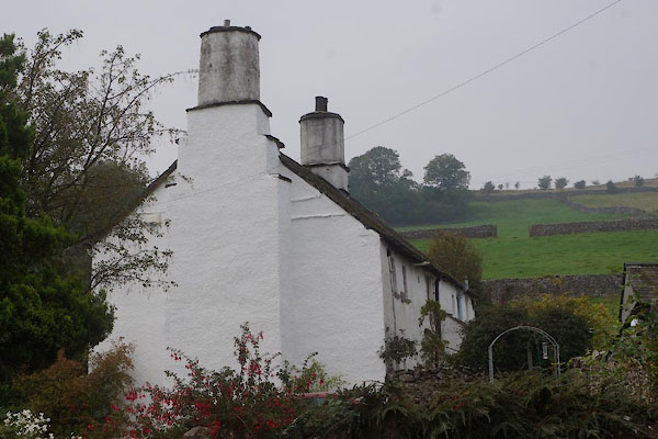
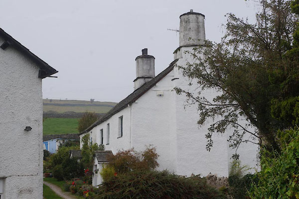 CBQ22.jpg (taken 12.9.2014) 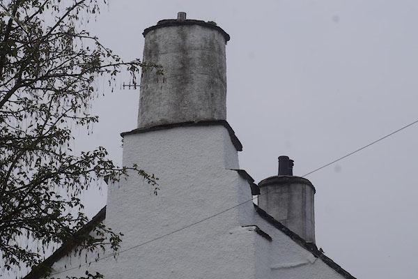 CBQ23.jpg Chimneys. (taken 12.9.2014) |
||
|
|
||
| evidence:- | old map:- OS County Series (Wmd 38 3) placename:- Low Plumgarths placename:- Plumgarths, Low |
|
| source data:- | Maps, County Series maps of Great Britain, scales 6 and 25
inches to 1 mile, published by the Ordnance Survey, Southampton,
Hampshire, from about 1863 to 1948. |
|
|
|
||
| evidence:- | old map:- Jefferys 1770 (Wmd) placename:- Plum Garths |
|
| source data:- | Map, 4 sheets, The County of Westmoreland, scale 1 inch to 1
mile, surveyed 1768, and engraved and published by Thomas
Jefferys, London, 1770.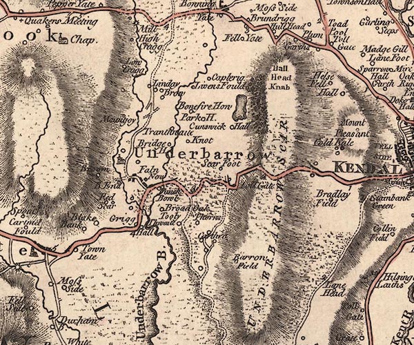 J5SD49SE.jpg "Plum Garths" circle, labelled in italic lowercase text; settlement, farm, house, or hamlet? item:- National Library of Scotland : EME.s.47 Image © National Library of Scotland |
|
|
|
||
| evidence:- | possibly old map:- Cary 1789 (edn 1805) placename:- Garths |
|
| source data:- | Map, uncoloured engraving, Westmoreland, scale about 2.5 miles
to 1 inch, by John Cary, London, 1789; edition 1805.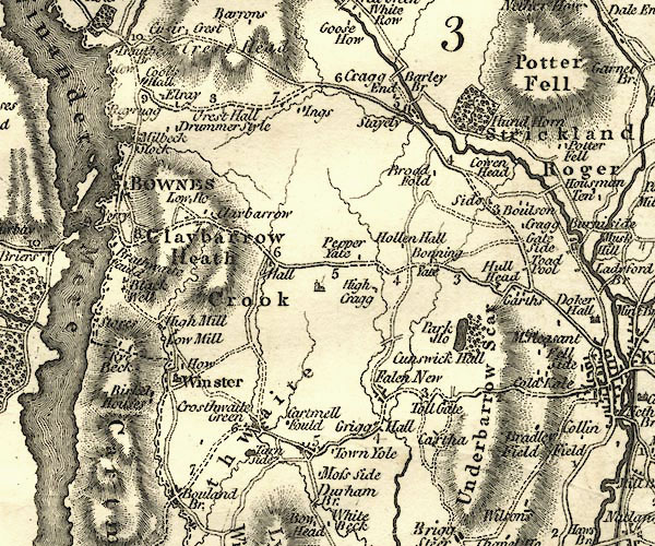 CY24SD49.jpg "Garths" block/s, labelled in italic lowercase; house, or hamlet item:- JandMN : 129 Image © see bottom of page |
|
|
|
||
| evidence:- | database:- Listed Buildings 2010 placename:- Plumgarths Cottages |
|
| source data:- | courtesy of English Heritage "PLUMGARTHS COTTAGES / 1 AND 2 / CROOK ROAD / STRICKLAND KETEL / SOUTH LAKELAND / CUMBRIA / II / 76423 / SD4957394618" |
|
|
|
||
 CBQ21.jpg (taken 12.9.2014) |
||
|
|
||
 Lakes Guides menu.