 Old Cumbria Gazetteer
 |
 |
|
| Peggleside, Dent | ||
| Peggleside | ||
| civil parish:- | Dent (formerly Yorkshire) | |
| county:- | Cumbria | |
| locality type:- | buildings | |
| coordinates:- | SD65639051 | |
| 1Km square:- | SD6590 | |
| 10Km square:- | SD69 | |
| references:- | Listed Buildings 2010 |
|
|
|
||
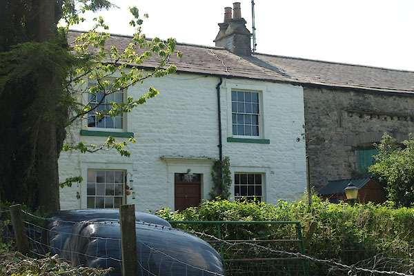 BYK41.jpg (taken 31.5.2013) 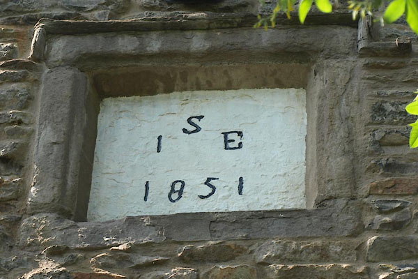 BYK43.jpg Date stone:- "I / S E / 1851" (taken 31.5.2013) |
||
|
|
||
| evidence:- | old map:- OS County Series (Yrk 63 7) placename:- Peggleside |
|
| source data:- | Maps, County Series maps of Great Britain, scales 6 and 25
inches to 1 mile, published by the Ordnance Survey, Southampton,
Hampshire, from about 1863 to 1948. |
|
|
|
||
| evidence:- | database:- Listed Buildings 2010 placename:- Peggleside item:- date stone (1851) |
|
| source data:- | courtesy of English Heritage "PEGGLESIDE AND ATTACHED BARN / / / DENT / SOUTH LAKELAND / CUMBRIA / II / 484359 / SD6563290510" |
|
|
|
||
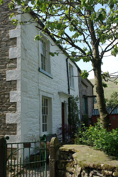 BYK42.jpg (taken 31.5.2013) |
||
|
|
||
 Lakes Guides menu.