 Old Cumbria Gazetteer
 |
 |
|
| Peak House, Oulton | ||
| Peak House | ||
| locality:- | Oulton | |
| civil parish:- | Woodside (formerly Cumberland) | |
| county:- | Cumbria | |
| locality type:- | buildings | |
| coordinates:- | NY24865071 | |
| 1Km square:- | NY2450 | |
| 10Km square:- | NY25 | |
| references:- | Listed Buildings 2010 |
|
|
|
||
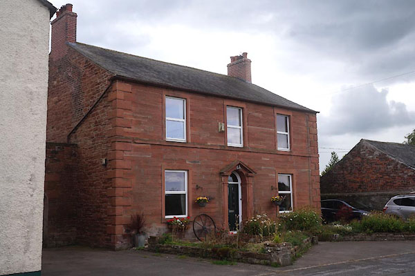 CBM76.jpg (taken 22.8.2014) |
||
|
|
||
| evidence:- | probably old map:- OS County Series (Cmd 29 1) placename:- Greyhound |
|
| source data:- | Maps, County Series maps of Great Britain, scales 6 and 25
inches to 1 mile, published by the Ordnance Survey, Southampton,
Hampshire, from about 1863 to 1948. |
|
|
|
||
| evidence:- | database:- Listed Buildings 2010 placename:- Peak House |
|
| source data:- | courtesy of English Heritage "PEAK HOUSE AND FLANKING CARRIAGE ARCHES / / / WOODSIDE / ALLERDALE / CUMBRIA / DL / 72079 / NY2486850710" |
|
|
|
||
 Lakes Guides menu.