 Old Cumbria Gazetteer
 |
 |
|
| Brackensgill, Dent (2) | ||
| Brackensgill | ||
| Street:- | Brackensgill Lane | |
| locality:- | Dentdale | |
| civil parish:- | Dent (formerly Yorkshire) | |
| county:- | Cumbria | |
| locality type:- | buildings | |
| locality type:- | barn | |
| coordinates:- | SD67958859 | |
| 1Km square:- | SD6788 | |
| 10Km square:- | SD68 | |
|
|
||
 CCE08.jpg (taken 5.12.2014) |
||
|
|
||
| evidence:- | old map:- OS County Series (Yrk 63 8) placename:- Brackensgill |
|
| source data:- | Maps, County Series maps of Great Britain, scales 6 and 25
inches to 1 mile, published by the Ordnance Survey, Southampton,
Hampshire, from about 1863 to 1948. |
|
|
|
||
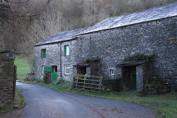
| MN photo:- |
The barn. |
|
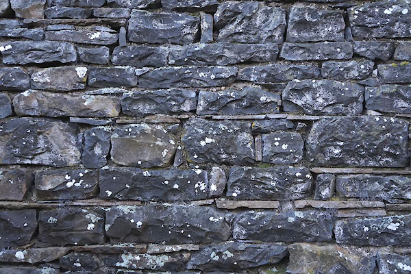 CCE12.jpg Walling. (taken 5.12.2014) 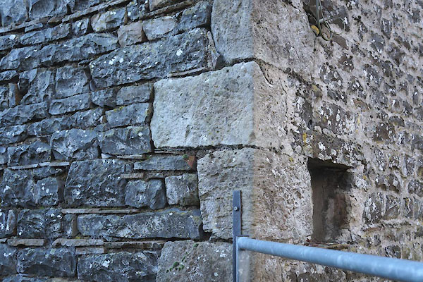 CCE11.jpg Quoins. (taken 5.12.2014) 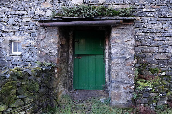 CCE09.jpg Door. (taken 5.12.2014) 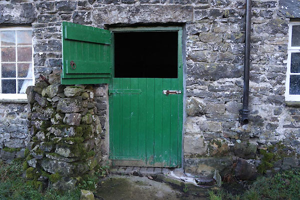 CCE13.jpg Door. (taken 5.12.2014) 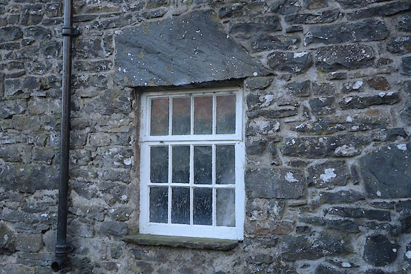 CCE10.jpg Window. (taken 5.12.2014) 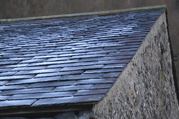 CCE16.jpg Roofing. (taken 5.12.2014) 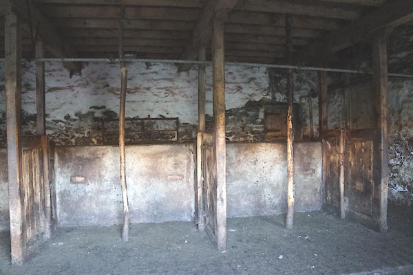 CCE14.jpg Stalls, in the 'house' part. (taken 5.12.2014) 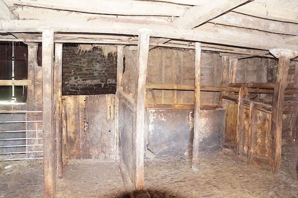 CCE15.jpg Stalls. (taken 5.12.2014) |
||
|
|
||
 Lakes Guides menu.