 Old Cumbria Gazetteer
 |
 |
|
| Low Loanthwaite, Claife | ||
| Low Loanthwaite Farm | ||
| civil parish:- | Claife (formerly Lancashire) | |
| county:- | Cumbria | |
| locality type:- | buildings | |
| coordinates:- | SD35519915 | |
| 1Km square:- | SD3599 | |
| 10Km square:- | SD39 | |
| references:- | Listed Buildings 2010 |
|
|
|
||
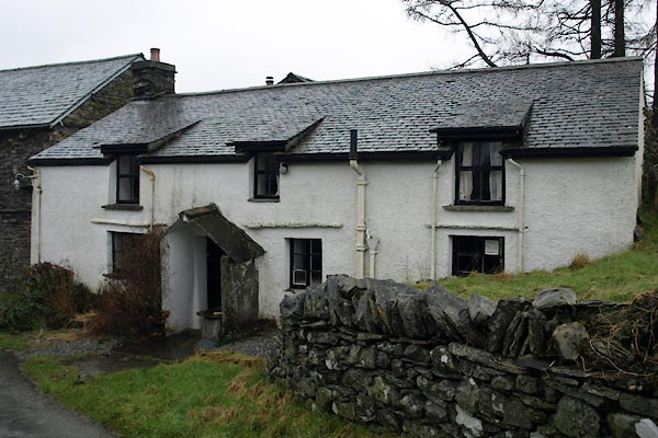 BVV45.jpg (taken 27.1.2012) 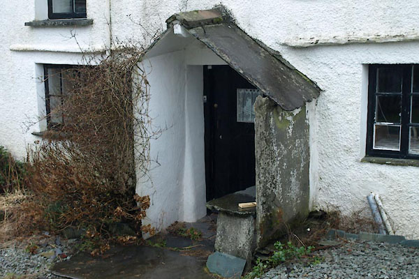 BVV46.jpg Porch. (taken 27.1.2012) |
||
|
|
||
| evidence:- | old map:- OS County Series (Lan 2 14) placename:- Low Loanthwaite placename:- Loanthwaite, Low |
|
| source data:- | Maps, County Series maps of Great Britain, scales 6 and 25
inches to 1 mile, published by the Ordnance Survey, Southampton,
Hampshire, from about 1863 to 1948. |
|
|
|
||
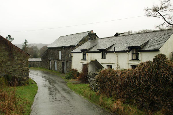 BVV44.jpg (taken 27.1.2012) |
||
|
|
||
 Lakes Guides menu.