 Old Cumbria Gazetteer
 |
 |
|
| Low Dockrayrigg, Woodside | ||
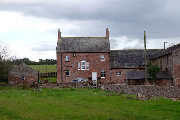
| Low Dockrayrigg | ||
| civil parish:- | Woodside (formerly Cumberland) | |
| county:- | Cumbria | |
| locality type:- | buildings | |
| coordinates:- | NY25605044 | |
| 1Km square:- | NY2550 | |
| 10Km square:- | NY25 | |
| references:- | Listed Buildings 2010 |
|
|
|
||
 CBM77.jpg (taken 22.8.2014) |
||
|
|
||
| evidence:- | old map:- OS County Series (Cmd 29 1) placename:- Low Dockrayrigg placename:- Dockrayrigg, Low |
|
| source data:- | Maps, County Series maps of Great Britain, scales 6 and 25
inches to 1 mile, published by the Ordnance Survey, Southampton,
Hampshire, from about 1863 to 1948. |
|
|
|
||
| evidence:- | database:- Listed Buildings 2010 placename:- Low Dockrayrigg item:- date stone (1810) |
|
| source data:- | courtesy of English Heritage "LOW DOCKRAYRIGG / / / WOODSIDE / ALLERDALE / CUMBRIA / II / 72076 / NY2560650469" |
|
|
|
||
 Lakes Guides menu.