 Old Cumbria Gazetteer
 |
 |
|
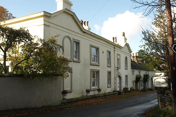
| Lorton Park, High Lorton | ||
| Lorton Park | ||
| locality:- | High Lorton | |
| civil parish:- | Lorton (formerly Cumberland) | |
| county:- | Cumbria | |
| locality type:- | buildings | |
| coordinates:- | NY15992585 | |
| 1Km square:- | NY1525 | |
| 10Km square:- | NY12 | |
| references:- | Listed Buildings 2010 |
|
|
|
||
 BVP17.jpg (taken 1.1.2011) 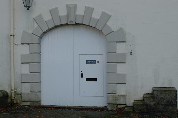 BVP20.jpg Door. (taken 1.1.2011) |
||
|
|
||
| evidence:- | old map:- OS County Series (Cmd 55 14) placename:- Lorton Park |
|
| source data:- | Maps, County Series maps of Great Britain, scales 6 and 25
inches to 1 mile, published by the Ordnance Survey, Southampton,
Hampshire, from about 1863 to 1948. |
|
|
|
||
| evidence:- | database:- Listed Buildings 2010 placename:- Lorton Park |
|
| source data:- | courtesy of English Heritage "LORTON PARK / / / LORTON / ALLERDALE / CUMBRIA / II / 72675 / NY1599325857" |
|
|
|
||
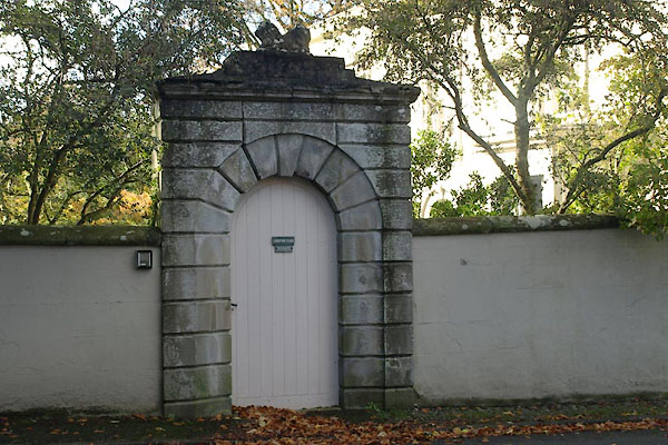
| evidence:- | database:- Listed Buildings 2010 |
|
| source data:- | courtesy of English Heritage "FRONT GATE PIERS AND WALL FOR LORTON PARK / / / LORTON / ALLERDALE / CUMBRIA / II / 72676 / NY1602425813" |
|
|
|
||
| evidence:- | database:- Listed Buildings 2010 |
|
| source data:- | courtesy of English Heritage "GARDEN WALL AND GATEWAY FOR LORTON PARK / / / LORTON / ALLERDALE / CUMBRIA / II / 72677 / NY1600825850" |
|
|
|
||
| evidence:- | database:- Listed Buildings 2010 |
|
| source data:- | courtesy of English Heritage "SUMMERHOUSE AT LORTON PARK / / / LORTON / ALLERDALE / CUMBRIA / II / 72752 / NY1593725811" |
|
|
|
||
| evidence:- | database:- Listed Buildings 2010 |
|
| source data:- | courtesy of English Heritage "SMOKE HOUSE NORTH OF LORTON PARK / / / LORTON / ALLERDALE / CUMBRIA / II / 72679 / NY1592325925" |
|
|
|
||
 BVP18.jpg Garden gate. (taken 1.1.2011) 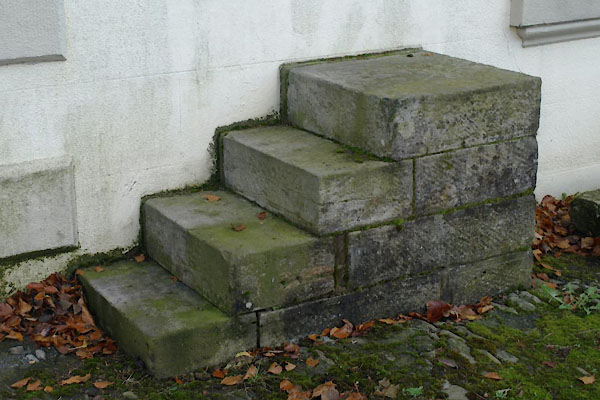 BVP19.jpg Mounting block. (taken 1.1.2011) 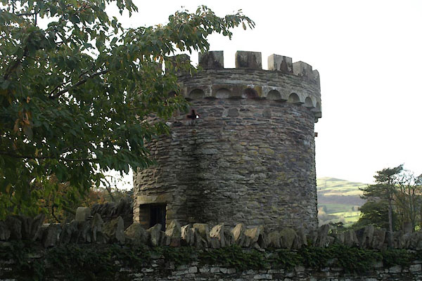 BVP22.jpg Smokehouse. (taken 1.1.2011) |
||
|
|
||
 Lakes Guides menu.