 Old Cumbria Gazetteer
 |
 |
|
| Lords' Dub Loups, Brigflatts | ||
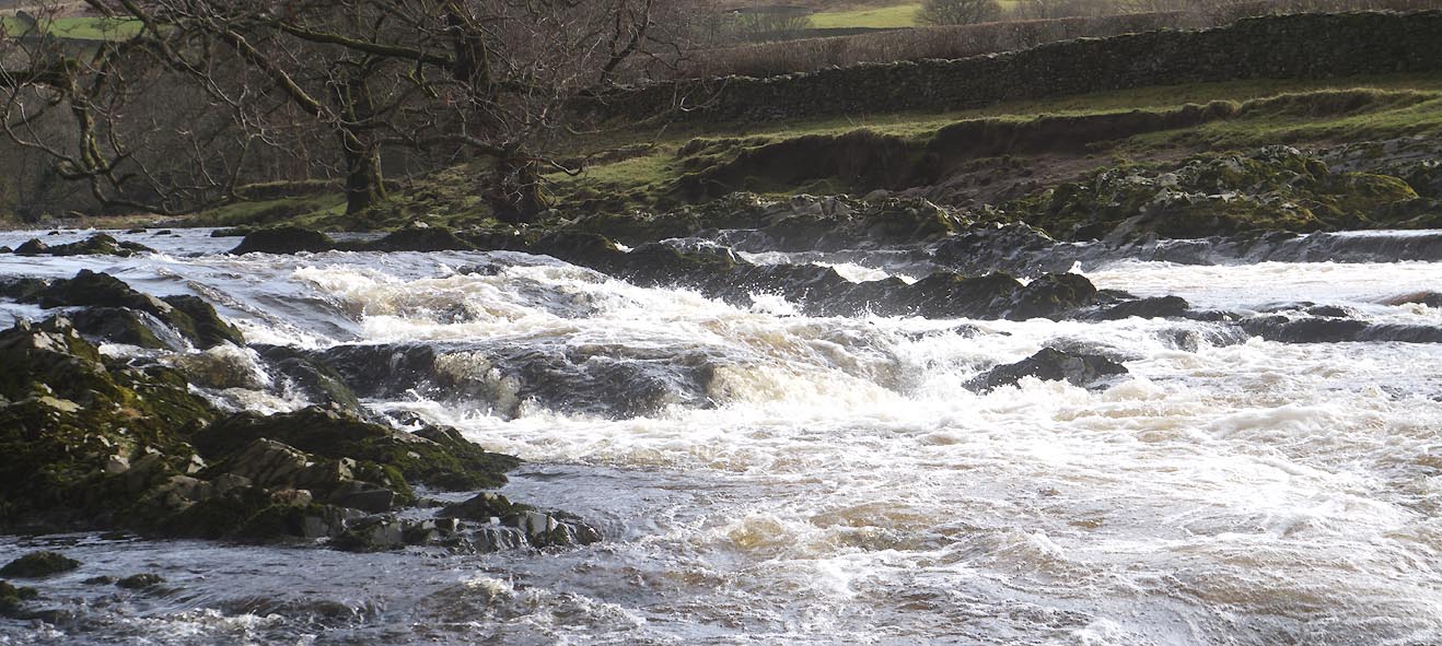
| site name:- | Rawthey, River | |
| locality:- | Brigflatts | |
| civil parish:- | Sedbergh (formerly Yorkshire) | |
| county:- | Cumbria | |
| locality type:- | waterfall (rapids) | |
| coordinates:- | SD63919111 | |
| 1Km square:- | SD6391 | |
| 10Km square:- | SD69 | |
|
|
||
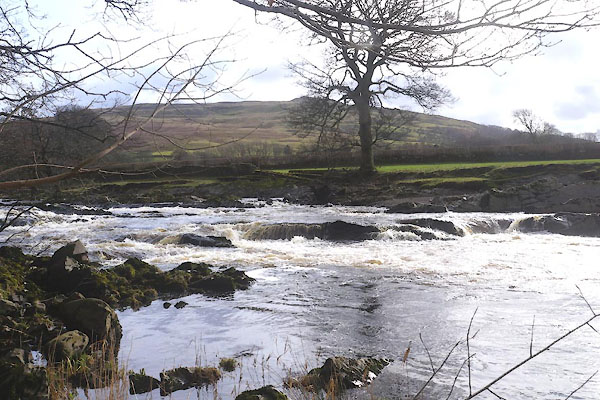 CFV53.jpg (taken 24.2.2017) 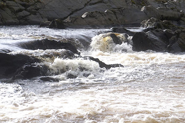 CFV57.jpg (taken 24.2.2017) |
||
|
|
||
| evidence:- | old map:- OS County Series (Yrk 63 3) placename:- Lord's Dub Loups |
|
| source data:- | Maps, County Series maps of Great Britain, scales 6 and 25
inches to 1 mile, published by the Ordnance Survey, Southampton,
Hampshire, from about 1863 to 1948. |
|
|
|
||
 Click to enlarge CFV54.jpg (taken 24.2.2017) 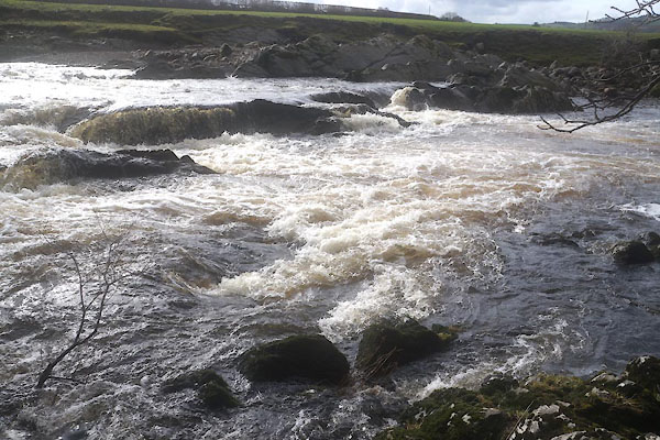 CFV55.jpg (taken 24.2.2017) 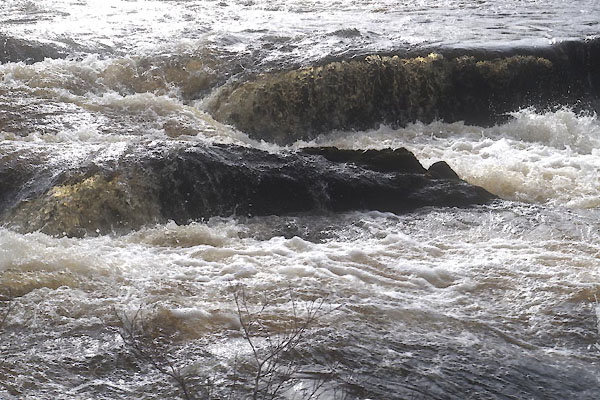 CFV56.jpg (taken 24.2.2017) 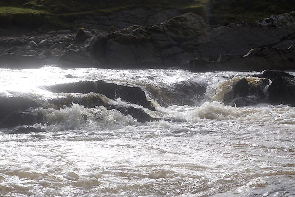 CFV58.jpg (taken 24.2.2017) 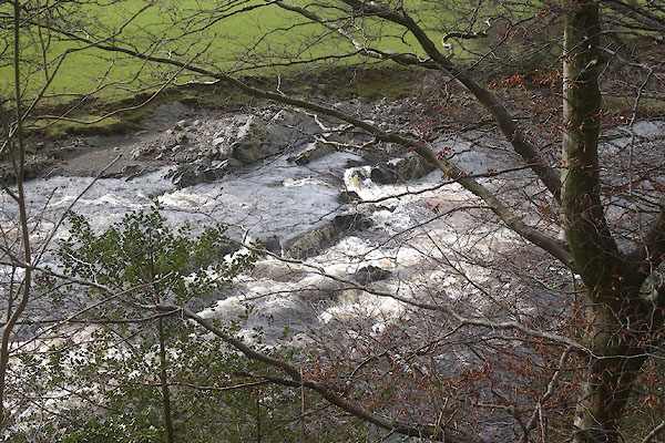 CFV59.jpg (taken 24.2.2017) 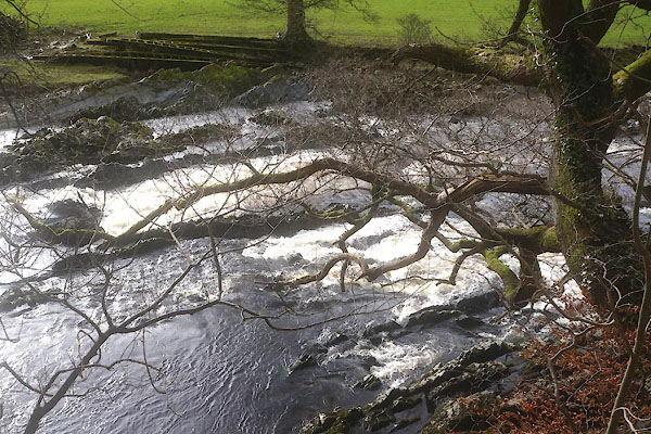 CFV60.jpg (taken 24.2.2017) |
||
|
|
||
 Lakes Guides menu.