 Old Cumbria Gazetteer
 |
 |
|
| Longmoor Head Farm, Ennerdale and Kinniside | ||
| Longmoor Head Farm | ||
| locality:- | Long Moor | |
| locality:- | Ennerdale | |
| civil parish:- | Ennerdale and Kinniside (formerly Cumberland) | |
| county:- | Cumbria | |
| locality type:- | buildings | |
| locality type:- | inn | |
| coordinates:- | NY06371569 | |
| 1Km square:- | NY0615 | |
| 10Km square:- | NY01 | |
| references:- | Listed Buildings 2010 |
|
|
|
||
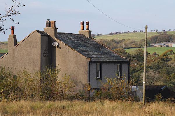 CEE69.jpg (taken 27.10.2015) |
||
|
|
||
| evidence:- | old map:- OS County Series (Cmd 68 10) placename:- Longmoor Head |
|
| source data:- | Maps, County Series maps of Great Britain, scales 6 and 25
inches to 1 mile, published by the Ordnance Survey, Southampton,
Hampshire, from about 1863 to 1948. |
|
|
|
||
| evidence:- | database:- Listed Buildings 2010 placename:- Longmoor Head Farm item:- date stone (1686) |
|
| source data:- | courtesy of English Heritage "LONGMOOR HEAD FARMHOUSE AND ADJOINING STABLE / / / ENNERDALE AND KINNISIDE / COPELAND / CUMBRIA / II / 76196 / NY0637515696" |
|
|
|
||
 Lakes Guides menu.