 Old Cumbria Gazetteer
 |
 |
|
| limekiln, Ravenstonedale (2) | ||
| civil parish:- | Ravenstonedale (formerly Westmorland) | |
| county:- | Cumbria | |
| locality type:- | limekiln | |
| coordinates:- | SD73179992 | |
| 1Km square:- | SD7399 | |
| 10Km square:- | SD79 | |
|
|
||
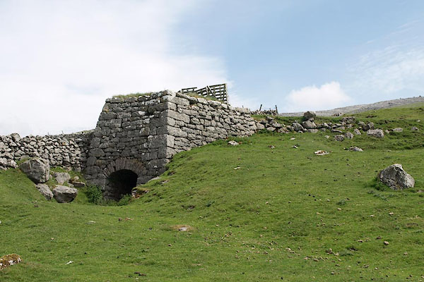 BSW85.jpg (taken 5.6.2010) 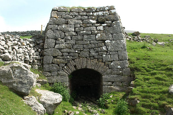 BSW86.jpg (taken 5.6.2010) |
||
|
|
||
| evidence:- | old map:- OS County Series (Wmd 36 1) |
|
| source data:- | Maps, County Series maps of Great Britain, scales 6 and 25
inches to 1 mile, published by the Ordnance Survey, Southampton,
Hampshire, from about 1863 to 1948. "limekiln" |
|
|
|
||
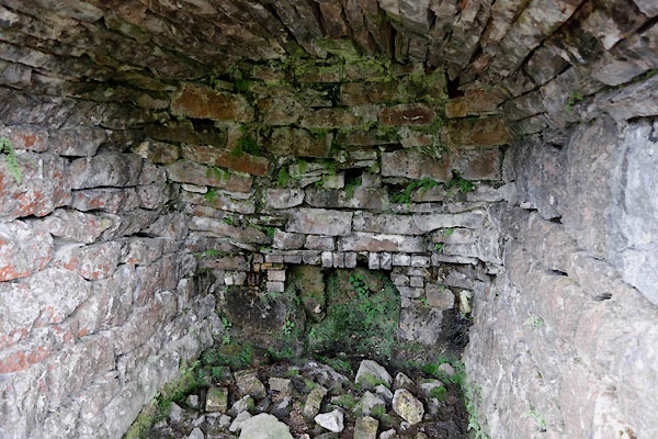 CDD54.jpg (taken 26.5.2015) 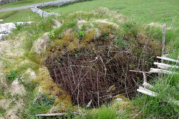 CDD53.jpg Sheep proofing. (taken 26.5.2015) |
||
|
|
||
 Lakes Guides menu.