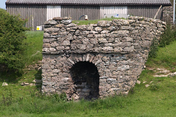


BYS44.jpg (taken 5.7.2013)
courtesy of English Heritage
"LIMEKILN APPROXIMATELY 40 METRES WEST OF WIKE FARM / / HOLY WELL LANE / LOWER ALLITHWAITE / SOUTH LAKELAND / CUMBRIA / II / 76985 / SD3887074946"
courtesy of English Heritage
"Limekiln. Probably early Cl9. Dressed stone. West elevation has segmental arched fire hole and narrow projecting course above."

 Lakes Guides menu.