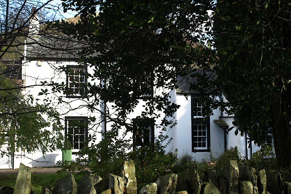


BVP16.jpg (taken 1.11.2011)
placename:- Lambfold
courtesy of English Heritage
"LAMBFOLD AND STABLE CONVERSION / / / LORTON / ALLERDALE / CUMBRIA / II / 72680 / NY1605025838"
 Old Cumbria Gazetteer
 |
 |
   |
| Lambfold, High Lorton | ||
| Lambfold | ||
| locality:- | High Lorton | |
| civil parish:- | Lorton (formerly Cumberland) | |
| county:- | Cumbria | |
| locality type:- | buildings | |
| coordinates:- | NY16052583 | |
| 1Km square:- | NY1625 | |
| 10Km square:- | NY12 | |
| references:- | Listed Buildings 2010 |
|
|
|
||
 BVP16.jpg (taken 1.11.2011) |
||
|
|
||
| evidence:- | database:- Listed Buildings 2010 placename:- Lambfold |
|
| source data:- | courtesy of English Heritage "LAMBFOLD AND STABLE CONVERSION / / / LORTON / ALLERDALE / CUMBRIA / II / 72680 / NY1605025838" |
|
|
|
||
 Lakes Guides menu.