 Old Cumbria Gazetteer
 |
 |
|
| Castle, Near Sawrey | ||
| locality:- | Near Sawrey | |
| civil parish:- | Claife (formerly Lancashire) | |
| county:- | Cumbria | |
| locality type:- | buildings | |
| coordinates:- | SD37079568 | |
| 1Km square:- | SD3795 | |
| 10Km square:- | SD39 | |
| references:- | Listed Buildings 2010 |
|
|
|
||
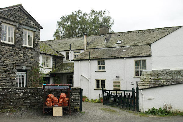 BZH61.jpg The Castle. (taken 20.9.2013) 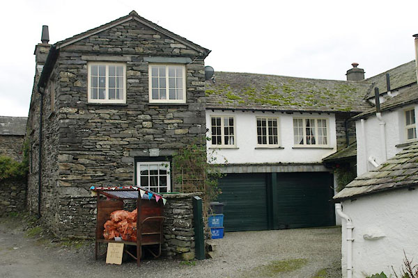 BZH62.jpg Barn End. (taken 20.9.2013) |
||
|
|
||
| evidence:- | probably old map:- OS County Series (Lan 5 7) placename:- Castle Farm |
|
| source data:- | Maps, County Series maps of Great Britain, scales 6 and 25
inches to 1 mile, published by the Ordnance Survey, Southampton,
Hampshire, from about 1863 to 1948. |
|
|
|
||
| evidence:- | database:- Listed Buildings 2010 placename:- Stones Lane Cottage placename:- Castle, The placename:- Castle Barn Cottage placename:- Barn End Flat |
|
| source data:- | courtesy of English Heritage "STONES LANE COTTAGE, THE CASTLE, CASTLE BARN COTTAGE AND BARN END FLAT AND OUTBUILDINGS / / / CLAIFE / SOUTH LAKELAND / CUMBRIA / II / 76751 / SD3707395689" |
|
|
|
||
 Lakes Guides menu.