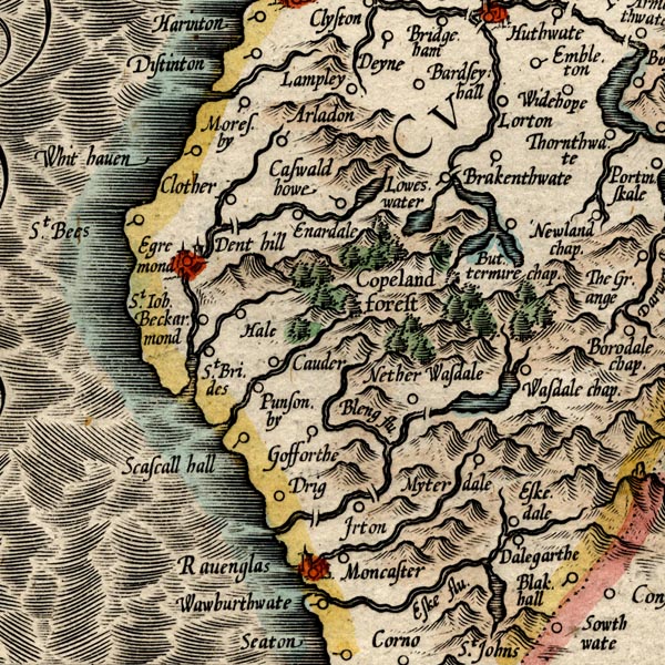


placename:-

MER8CumE.jpg
""
double across a stream; bridge, over the Irt???
item:- JandMN : 169
Image © see bottom of page
placename:- Holmbrook Hall Bridge
item:- date stone (1635)
courtesy of English Heritage
"HOLMBROOK HALL BRIDGE / / / IRTON WITH SANTON / COPELAND / CUMBRIA / II / 351972 / NY0828900136"
courtesy of English Heritage
"Road bridge, carrying an approach drive to Holmbrook Hall over the River Irt. Late C18 but probably incorporating the substantial underwork of an earlier bridge to which a datestone of 1635 may refer. Ashlar sandstone abutments, arch lining and parapet wall copings, with red brick parapet walling. Single span bridge aligned north-south with depressed pointed arch with chamfered drip mould above. Shallow parapet walls with ashlar pitchback copings do not follow profile of arch below, but incorporate a flattened central part. Datestone bearing inscription 'W. 1635 M.' below central parapet on west side."

 Lakes Guides menu.