 Old Cumbria Gazetteer
 |
 |
|
| Holcombe House, Irthington | ||
| Holcombe House | ||
| locality:- | Irthington | |
| civil parish:- | Irthington (formerly Cumberland) | |
| county:- | Cumbria | |
| locality type:- | buildings | |
| coordinates:- | NY49746151 | |
| 1Km square:- | NY4961 | |
| 10Km square:- | NY46 | |
| references:- | Listed Buildings 2010 |
|
|
|
||
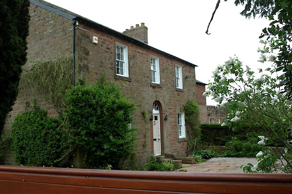 BWP76.jpg (taken 1.6.2012) |
||
|
|
||
| evidence:- | possibly old map:- OS County Series (Cmd 17 7) placename:- Bogside |
|
| source data:- | Maps, County Series maps of Great Britain, scales 6 and 25
inches to 1 mile, published by the Ordnance Survey, Southampton,
Hampshire, from about 1863 to 1948. |
|
|
|
||
| evidence:- | database:- Listed Buildings 2010 placename:- Holcombe House |
|
| source data:- | courtesy of English Heritage "HOLCOMBE HOUSE / / / IRTHINGTON / CARLISLE / CUMBRIA / II / 77900 / NY4974861514" |
|
|
|
||
 Lakes Guides menu.