 Old Cumbria Gazetteer
 |
 |
|
| High Oxen Fell Farm, Skelwith | ||
| High Oxen Fell Farm | ||
| civil parish:- | Skelwith (formerly Lancashire) | |
| county:- | Cumbria | |
| locality type:- | buildings | |
| coordinates:- | NY32330190 | |
| 1Km square:- | NY3201 | |
| 10Km square:- | NY30 | |
| references:- | Listed Buildings 2010 |
|
|
|
||
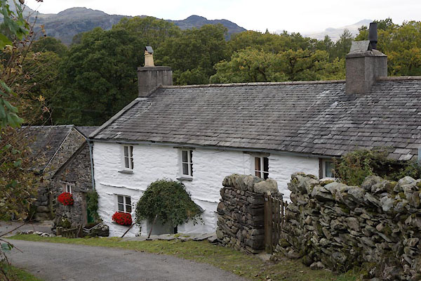 BZL33.jpg (taken 15.10.2013) 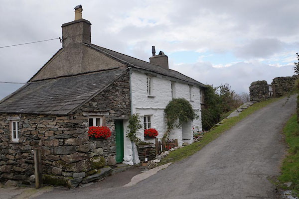 BZL34.jpg (taken 15.10.2013) |
||
|
|
||
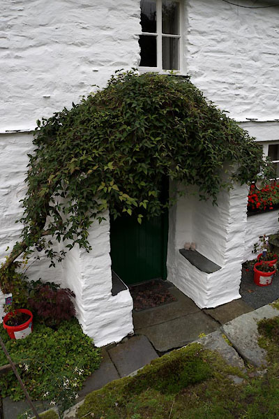 BZL35.jpg Porch. (taken 15.10.2013) 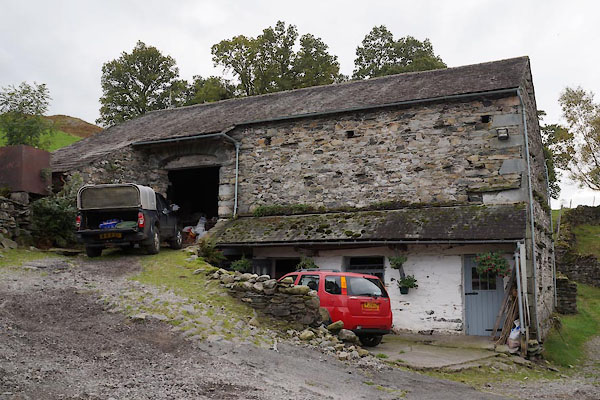 BZL36.jpg Bank barn. (taken 15.10.2013) 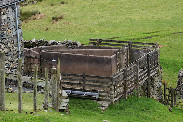 BZL37.jpg Sheepfold. (taken 15.10.2013) |
||
|
|
||
| evidence:- | old map:- OS County Series (Lan 2 5) placename:- High Oxen Fell placename:- Oxen Fell, High |
|
| source data:- | Maps, County Series maps of Great Britain, scales 6 and 25
inches to 1 mile, published by the Ordnance Survey, Southampton,
Hampshire, from about 1863 to 1948. |
|
|
|
||
| evidence:- | database:- Listed Buildings 2010 placename:- High Oxen Fell Farm |
|
| source data:- | courtesy of English Heritage "HIGH OXEN FELL FARMHOUSE / / / SKELWITH / SOUTH LAKELAND / CUMBRIA / II / 76893 / NY3233301908" |
|
|
|
||
 Lakes Guides menu.