 Old Cumbria Gazetteer
 |
 |
|
| High Hampsfield Farm, Hampsfield | ||
| High Hampsfield Farm | ||
| locality:- | Hampsfield | |
| civil parish:- | Broughton East (formerly Lancashire) | |
| county:- | Cumbria | |
| locality type:- | buildings | |
| coordinates:- | SD40418036 | |
| 1Km square:- | SD4080 | |
| 10Km square:- | SD48 | |
| references:- | Listed Buildings 2010 |
|
|
|
||
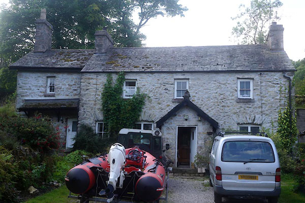 CDW69.jpg (taken 11.9.2015) 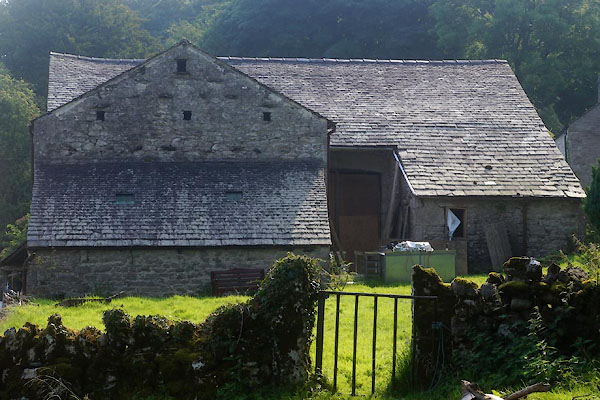 CDW76.jpg Barn. (taken 11.9.2015) |
||
|
|
||
| evidence:- | old map:- OS County Series (Lan 12 16) placename:- High Hampsfield Farm placename:- Hampsfield Farm, High |
|
| source data:- | Maps, County Series maps of Great Britain, scales 6 and 25
inches to 1 mile, published by the Ordnance Survey, Southampton,
Hampshire, from about 1863 to 1948. |
|
|
|
||
| evidence:- | database:- Listed Buildings 2010 placename:- High Hampsfield Farm |
|
| source data:- | courtesy of English Heritage "HIGH HAMPSFIELD FARMHOUSE / / / BROUGHTON EAST / SOUTH LAKELAND / CUMBRIA / II / 76927 / SD4041080360" |
|
|
|
||
| evidence:- | database:- Listed Buildings 2010 |
|
| source data:- | courtesy of English Heritage "BARN IMMEDIATELY TO NORTH OF HIGH HAMPSFIELD FARMHOUSE / / / BROUGHTON EAST / SOUTH LAKELAND / CUMBRIA / II / 76928 / SD4040480383" |
|
|
|
||
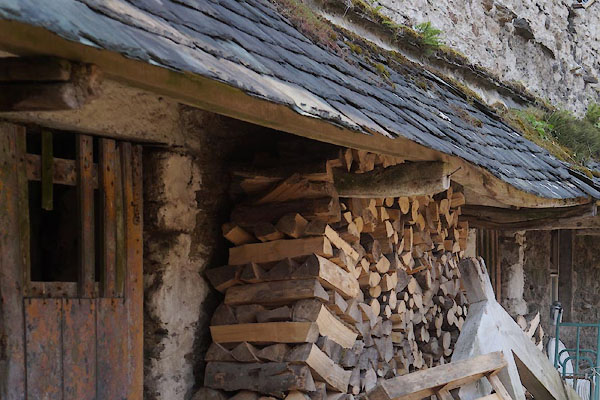 CDW70.jpg Pentice on barn. (taken 11.9.2015) 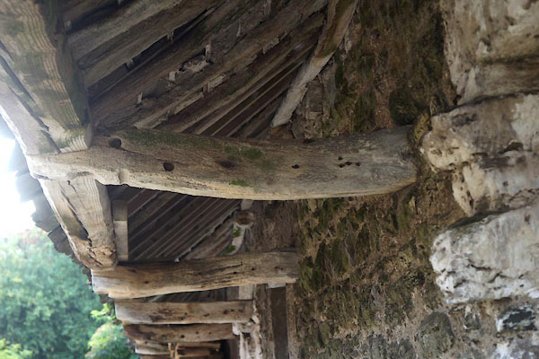 CDW71.jpg Pentice on barn. (taken 11.9.2015) 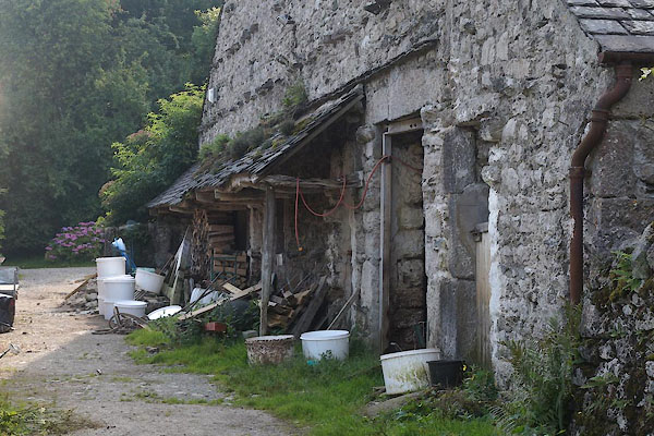 CDW72.jpg Pentice on barn. (taken 11.9.2015) |
||
|
|
||
 Lakes Guides menu.