 Old Cumbria Gazetteer
 |
 |
|
| High Cupgill Head, Murton | ||
| High Cupgill Head | ||
| locality:- | High Cup | |
| civil parish:- | Murton (formerly Westmorland) | |
| county:- | Cumbria | |
| locality type:- | locality | |
| coordinates:- | NY74692616 (about) | |
| 1Km square:- | NY7426 | |
| 10Km square:- | NY72 | |
|
|
||
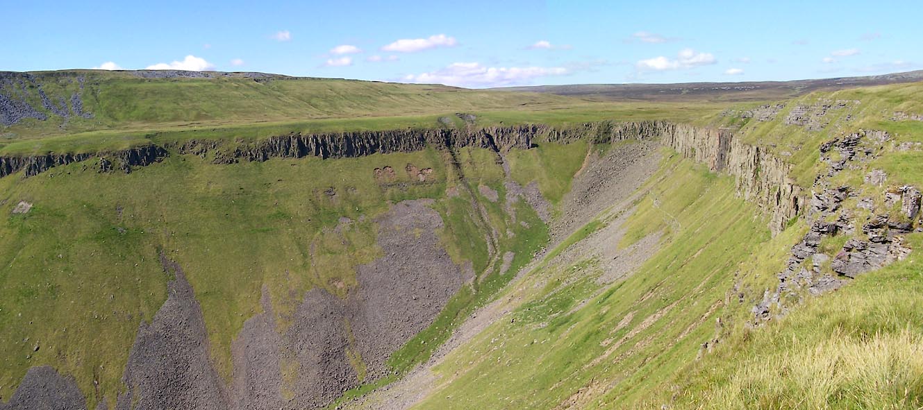 Click to enlarge BVB85.jpg (taken 24.7.2011) 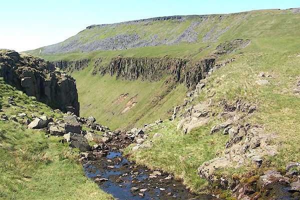 BQR96.jpg The beck at the head of the valley. (taken 1.6.2009) |
||
|
|
||
| evidence:- | old map:- OS County Series (Wmd 10 1) placename:- High Cupgill Head |
|
| source data:- | Maps, County Series maps of Great Britain, scales 6 and 25
inches to 1 mile, published by the Ordnance Survey, Southampton,
Hampshire, from about 1863 to 1948. |
|
|
|
||
| evidence:- | old print:- Rose 1832-35 |
|
| source data:- | Print, engraving, Highcup-Gill, Appleby in the Distance, by Thomas Allom, engraved
by S Lacey, 1833.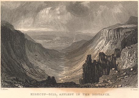 click to enlarge click to enlargeR219.jpg "Highcup-Gill, Appleby in the Distance" item:- JandMN : 96.10 Image © see bottom of page |
|
|
|
||
 Lakes Guides menu.