 Old Cumbria Gazetteer
 |
 |
|
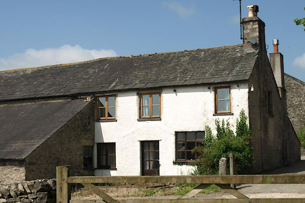
| Heaves Farm, Levens | ||
| Heaves Farm | ||
| civil parish:- | Levens (formerly Westmorland) | |
| county:- | Cumbria | |
| locality type:- | buildings | |
| coordinates:- | SD49208663 | |
| 1Km square:- | SD4986 | |
| 10Km square:- | SD48 | |
| references:- | Listed Buildings 2010 |
|
|
|
||
 BYU07.jpg (taken 11.7.2013) 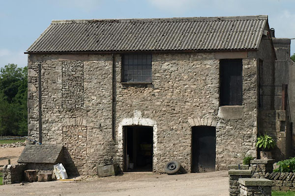 BYU08.jpg A barn. (taken 11.7.2013) |
||
|
|
||
| evidence:- | old map:- OS County Series (Wmd 42 7) placename:- Eaves Farm |
|
| source data:- | Maps, County Series maps of Great Britain, scales 6 and 25
inches to 1 mile, published by the Ordnance Survey, Southampton,
Hampshire, from about 1863 to 1948. |
|
|
|
||
| evidence:- | old map:- OS County Series (Wmd 42) placename:- Heaves Farm |
|
| source data:- | Maps, County Series maps of Great Britain, scales 6 and 25
inches to 1 mile, published by the Ordnance Survey, Southampton,
Hampshire, from about 1863 to 1948. |
|
|
|
||
| evidence:- | old map:- Jefferys 1770 (Wmd) placename:- Hive |
|
| source data:- | Map, 4 sheets, The County of Westmoreland, scale 1 inch to 1
mile, surveyed 1768, and engraved and published by Thomas
Jefferys, London, 1770.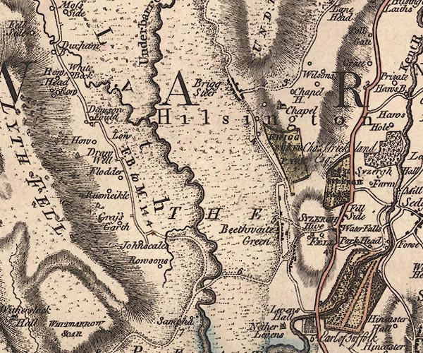 J5SD48NE.jpg "Hive" circle, labelled in italic lowercase text; settlement, farm, house, or hamlet? item:- National Library of Scotland : EME.s.47 Image © National Library of Scotland |
|
|
|
||
| evidence:- | database:- Listed Buildings 2010 placename:- Heaves Farm |
|
| source data:- | courtesy of English Heritage "HEAVES FARMHOUSE AND ATTACHED BARN TO SOUTH / / / LEVENS / SOUTH LAKELAND / CUMBRIA / II / 75536 / SD4919786610" |
|
|
|
||
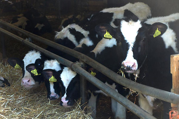 BYU09.jpg Cattle. (taken 11.7.2013) |
||
|
|
||
 Lakes Guides menu.