 Old Cumbria Gazetteer
 |
 |
|
| Hawkshead Fields House, Hawkshead | ||
| Hawkshead Fields House | ||
| Hawkshead Field | ||
| civil parish:- | Hawkshead (formerly Lancashire) | |
| county:- | Cumbria | |
| locality type:- | buildings | |
| coordinates:- | SD35359685 | |
| 1Km square:- | SD3596 | |
| 10Km square:- | SD39 | |
| references:- | Listed Buildings 2010 |
|
|
|
||
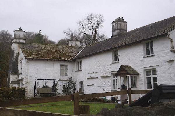 CES54.jpg (taken 11.3.2016) |
||
|
|
||
| evidence:- | old map:- OS County Series (Lan 5 6) placename:- Hawkshead Field |
|
| source data:- | Maps, County Series maps of Great Britain, scales 6 and 25
inches to 1 mile, published by the Ordnance Survey, Southampton,
Hampshire, from about 1863 to 1948. |
|
|
|
||
| evidence:- | probably old map:- Jefferys 1770 (Wmd) placename:- Fould |
|
| source data:- | Map, 4 sheets, The County of Westmoreland, scale 1 inch to 1
mile, surveyed 1768, and engraved and published by Thomas
Jefferys, London, 1770.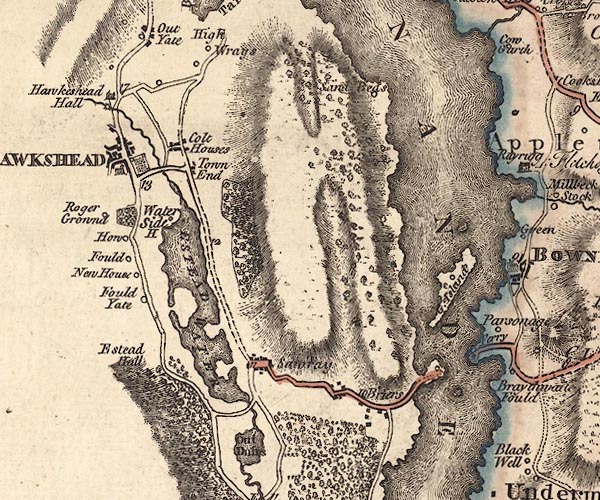 J5SD39NE.jpg "Fould" circle, labelled in italic lowercase text; settlement, farm, house, or hamlet? item:- National Library of Scotland : EME.s.47 Image © National Library of Scotland |
|
|
|
||
| evidence:- | database:- Listed Buildings 2010 placename:- Hawkshead Fields House |
|
| source data:- | courtesy of English Heritage "HAWKSHEAD FIELDS HOUSE AND COTTAGE / / / HAWKSHEAD / SOUTH LAKELAND / CUMBRIA / II / 76822 / SD3535096856" |
|
|
|
||
| evidence:- | database:- Listed Buildings 2010 |
|
| source data:- | courtesy of English Heritage "GARAGE TO SOUTH OF HAWSHEAD FIELDS / / / HAWKSHEAD / SOUTH LAKELAND / CUMBRIA / II / 76823 / SD3533696832" |
|
|
|
||
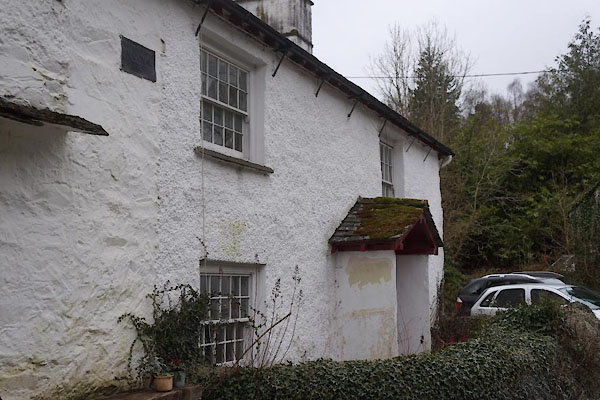 CES55.jpg Rear. (taken 11.3.2016) 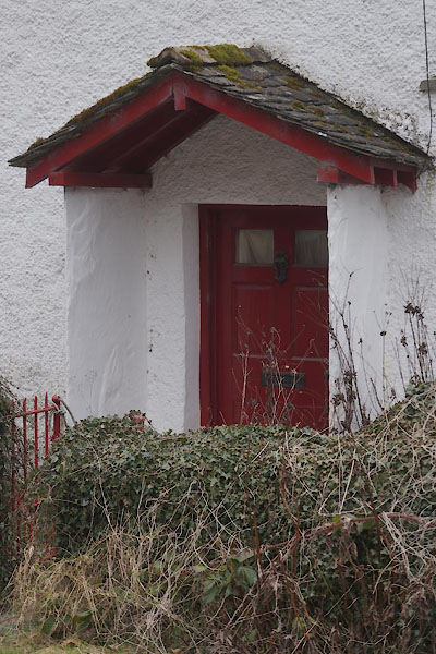 CES56.jpg Porch at rear. (taken 11.3.2016) 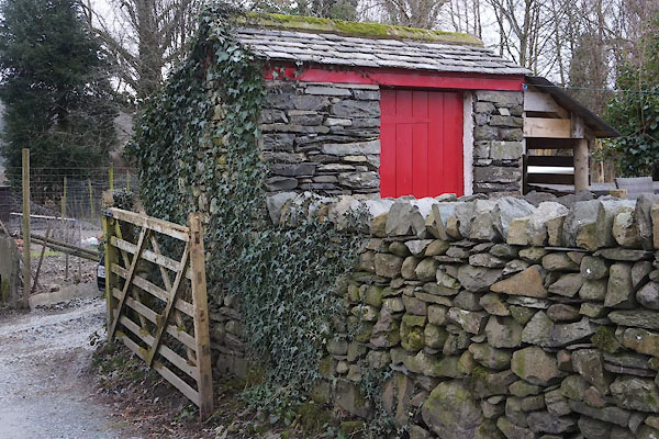 CES57.jpg Privy? (taken 11.3.2016) |
||
|
|
||
 Lakes Guides menu.