 Old Cumbria Gazetteer
 |
 |
|
| Ghyll Farm, Strickland Roger | ||
| Ghyll Farm | ||
| Ghyll Cottage | ||
| Street:- | Potter Fell Road | |
| civil parish:- | Strickland Roger (formerly Westmorland) | |
| county:- | Cumbria | |
| locality type:- | buildings | |
| coordinates:- | SD49709785 | |
| 1Km square:- | SD4997 | |
| 10Km square:- | SD49 | |
| references:- | Listed Buildings 2010 |
|
|
|
||
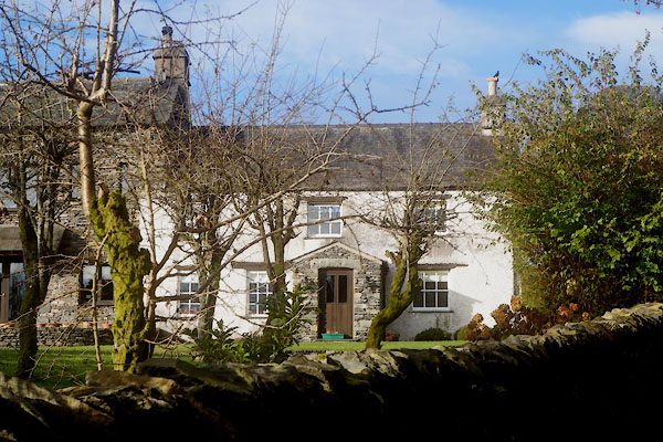 CFR68.jpg (taken 11.11.2016) |
||
|
|
||
| evidence:- | old map:- OS County Series (Wmd 33 11) placename:- Bateman Tenement |
|
| source data:- | Maps, County Series maps of Great Britain, scales 6 and 25
inches to 1 mile, published by the Ordnance Survey, Southampton,
Hampshire, from about 1863 to 1948. |
|
|
|
||
| evidence:- | database:- Listed Buildings 2010 placename:- Ghyll Cottage |
|
| source data:- | courtesy of English Heritage "GHYLL COTTAGE AND ATTACHED BARN / / POTTER FELL ROAD / STRICKLAND ROGER / SOUTH LAKELAND / CUMBRIA / II / 76433 / SD4970597855" |
|
|
|
||
 Lakes Guides menu.