 Old Cumbria Gazetteer
 |
 |
|
| Gasdale, Murton | ||
| Gasdale | ||
| site name:- | Murton Beck | |
| civil parish:- | Murton (formerly Westmorland) | |
| county:- | Cumbria | |
| locality type:- | valley | |
| coordinates:- | NY74072253 (etc) | |
| 1Km square:- | NY7422 | |
| 10Km square:- | NY72 | |
|
|
||
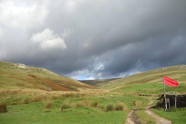 CGR38.jpg (taken 5.10.2017) 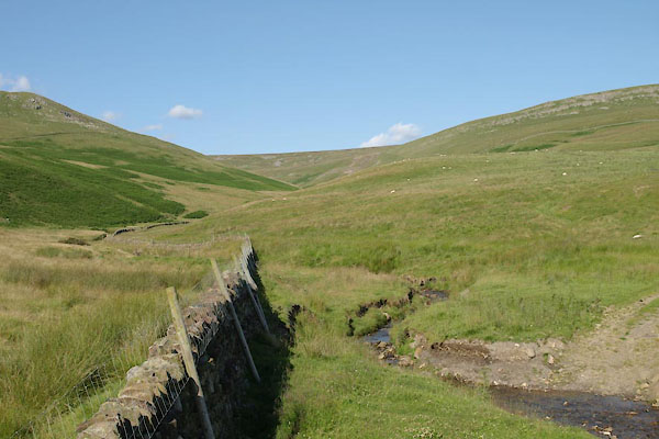 BVB38.jpg (taken 24.7.2011) |
||
|
|
||
| evidence:- | old map:- OS County Series (Wmd 10 9) placename:- Gasdale |
|
| source data:- | Maps, County Series maps of Great Britain, scales 6 and 25
inches to 1 mile, published by the Ordnance Survey, Southampton,
Hampshire, from about 1863 to 1948. |
|
|
|
||
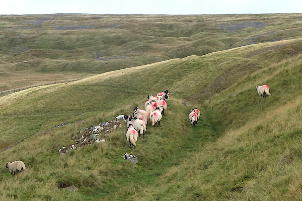 CGR43.jpg Swaledale sheep; red pop on farside rump. (taken 5.10.2017) 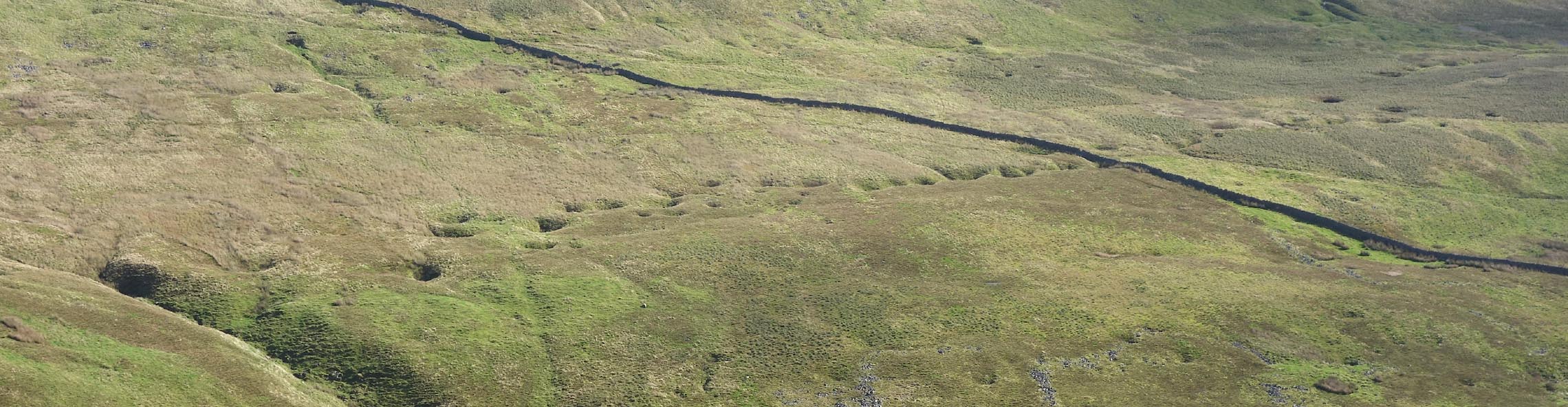 Click to enlarge CGR56.jpg Line of swallow holes, at (taken 5.10.2017) |
||
|
|
||
 Lakes Guides menu.