 Old Cumbria Gazetteer
 |
 |
|
| Garth Foot, Castle Carrock | ||
| Garth Foot | ||
| locality:- | Castle Carrock | |
| civil parish:- | Castle Carrock (formerly Cumberland) | |
| county:- | Cumbria | |
| locality type:- | buildings | |
| coordinates:- | NY54695531 | |
| 1Km square:- | NY5455 | |
| 10Km square:- | NY55 | |
| references:- | Listed Buildings 2010 |
|
|
|
||
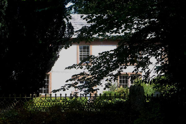 CBG40.jpg (taken 28.7.2014) 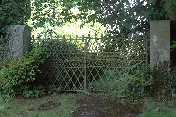 CBG41.jpg Gate. (taken 28.7.2014) |
||
|
|
||
| evidence:- | old map:- OS County Series (Cmd 25 5) placename:- Garthfoot |
|
| source data:- | Maps, County Series maps of Great Britain, scales 6 and 25
inches to 1 mile, published by the Ordnance Survey, Southampton,
Hampshire, from about 1863 to 1948. |
|
|
|
||
| evidence:- | possibly old map:- Donald 1774 (Cmd) placename:- Garth Foot |
|
| source data:- | Map, hand coloured engraving, 3x2 sheets, The County of Cumberland, scale about 1
inch to 1 mile, by Thomas Donald, engraved and published by Joseph Hodskinson, 29
Arundel Street, Strand, London, 1774.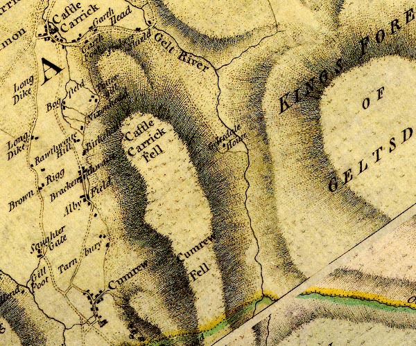 D4NY55SE.jpg "Garth Foot" block or blocks, labelled in lowercase; a hamlet or just a house item:- Carlisle Library : Map 2 Image © Carlisle Library |
|
|
|
||
| evidence:- | database:- Listed Buildings 2010 placename:- Garth Foot House |
|
| source data:- | courtesy of English Heritage "GARTH FOOT HOUSE / / / CASTLE CARROCK / CARLISLE / CUMBRIA / II / 78000 / NY5469555315" |
|
|
|
||
 Lakes Guides menu.