 Old Cumbria Gazetteer
 |
 |
|
| Fat Lamb, Ravenstonedale | ||
| locality:- | Crossbank | |
| civil parish:- | Ravenstonedale (formerly Westmorland) | |
| county:- | Cumbria | |
| locality type:- | inn (?) | |
| locality type:- | restaurant (?) | |
| coordinates:- | NY73920238 | |
| 1Km square:- | NY7302 | |
| 10Km square:- | NY70 | |
|
|
||
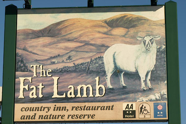 BTV58.jpg Innsign. (taken 24.12.2010) 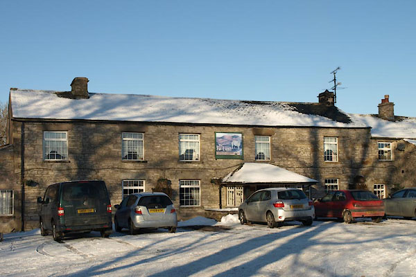 BTV57.jpg (taken 24.12.2010) |
||
|
|
||
| evidence:- | old map:- OS County Series (Wmd 30 13) placename:- Cross Bank |
|
| source data:- | Maps, County Series maps of Great Britain, scales 6 and 25
inches to 1 mile, published by the Ordnance Survey, Southampton,
Hampshire, from about 1863 to 1948. "Cross Bank (P.H.)" |
|
|
|
||
 Lakes Guides menu.