 Old Cumbria Gazetteer
 |
 |
|
| Draw Well Farm, Sedbergh | ||
| Draw Well Farm | ||
| Street:- | Howgill Lane | |
| civil parish:- | Sedbergh (formerly Yorkshire) | |
| county:- | Cumbria | |
| locality type:- | buildings | |
| coordinates:- | SD63489351 | |
| 1Km square:- | SD6393 | |
| 10Km square:- | SD69 | |
| references:- | Listed Buildings 2010 |
|
|
|
||
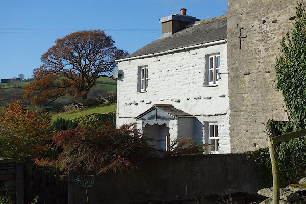 CCA24.jpg (taken 5.11.2014) |
||
|
|
||
| evidence:- | old map:- OS County Series (Yrk 48 14) placename:- Draw Well |
|
| source data:- | Maps, County Series maps of Great Britain, scales 6 and 25
inches to 1 mile, published by the Ordnance Survey, Southampton,
Hampshire, from about 1863 to 1948. |
|
|
|
||
| evidence:- | old map:- Jefferys 1770 (Wmd) placename:- Draw Well |
|
| source data:- | Map, 4 sheets, The County of Westmoreland, scale 1 inch to 1
mile, surveyed 1768, and engraved and published by Thomas
Jefferys, London, 1770.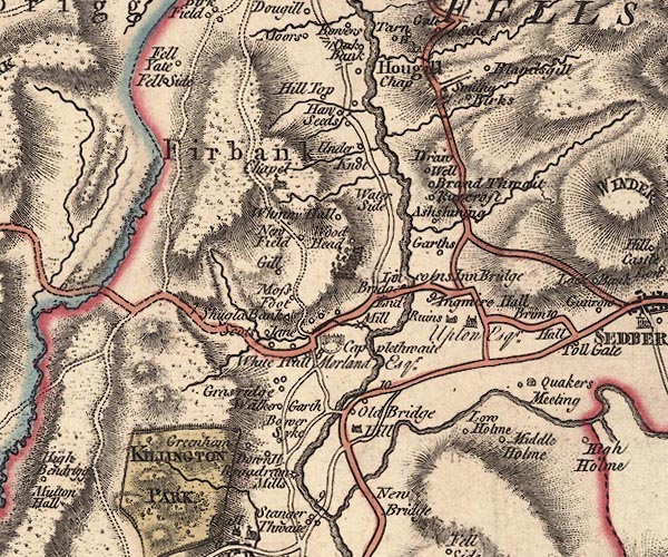 J5SD69SW.jpg "Draw Well" circle item:- National Library of Scotland : EME.s.47 Image © National Library of Scotland |
|
|
|
||
| evidence:- | database:- Listed Buildings 2010 placename:- Draw Well Farm |
|
| source data:- | courtesy of English Heritage "DRAW WELL FARMHOUSE / / HOWGILL LANE / SEDBERGH / SOUTH LAKELAND / CUMBRIA / II / 484578 / SD6348393519" |
|
|
|
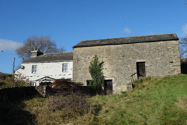
||
| evidence:- | database:- Listed Buildings 2010 |
|
| source data:- | courtesy of English Heritage "BANK BARN ATTACHED TO EAST END OF DRAW WELL FARMHOUSE / / HOWGILL LANE / SEDBERGH / SOUTH LAKELAND / CUMBRIA / II / 484579 / SD6349093524" |
|
|
|
||
 CCA25.jpg (taken 5.11.2014) 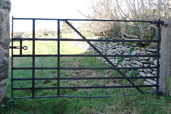 CCA22.jpg Gate. (taken 5.11.2014) 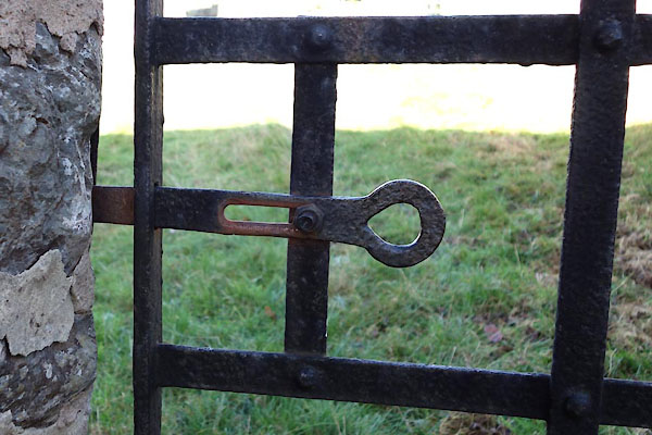 CCA23.jpg Gate catch. (taken 5.11.2014) |
||
|
|
||
 Lakes Guides menu.