 Old Cumbria Gazetteer
 |
 |
|
| Dean Mains, Dean | ||
| Dean Mains | ||
| locality:- | Dean | |
| civil parish:- | Dean (formerly Cumberland) | |
| county:- | Cumbria | |
| locality type:- | buildings | |
| coordinates:- | NY07302524 | |
| 1Km square:- | NY0725 | |
| 10Km square:- | NY02 | |
| references:- | Listed Buildings 2010 |
|
|
|
||
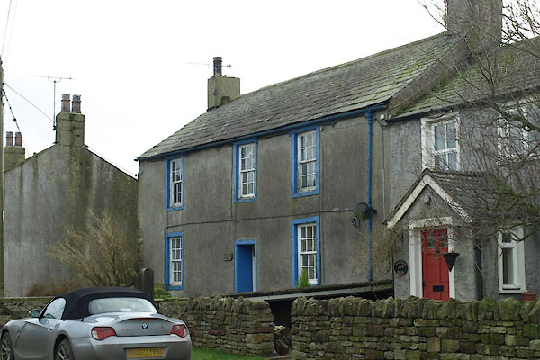 BWA87.jpg (taken 9.3.2012) |
||
|
|
||
| evidence:- | probably old map:- OS County Series (Cmd 62 2) placename:- Low Mains placename:- Mains, Low |
|
| source data:- | Maps, County Series maps of Great Britain, scales 6 and 25
inches to 1 mile, published by the Ordnance Survey, Southampton,
Hampshire, from about 1863 to 1948. |
|
|
|
||
| evidence:- | database:- Listed Buildings 2010 placename:- Dean Mains |
|
| source data:- | courtesy of English Heritage "DEAN MAINS / / / DEAN / ALLERDALE / CUMBRIA / II / 72628 / NY0730525240" |
|
|
|
||
 Lakes Guides menu.