 Old Cumbria Gazetteer
 |
 |
|
| Craggy Wood, Over Staveley | ||
| Craggy Wood | ||
| Craggy Plantation | ||
| locality:- | Spy Crag | |
| civil parish:- | Over Staveley (formerly Westmorland) | |
| county:- | Cumbria | |
| locality type:- | wood | |
| coordinates:- | SD47569852 (etc) | |
| 1Km square:- | SD4798 | |
| 10Km square:- | SD49 | |
|
|
||
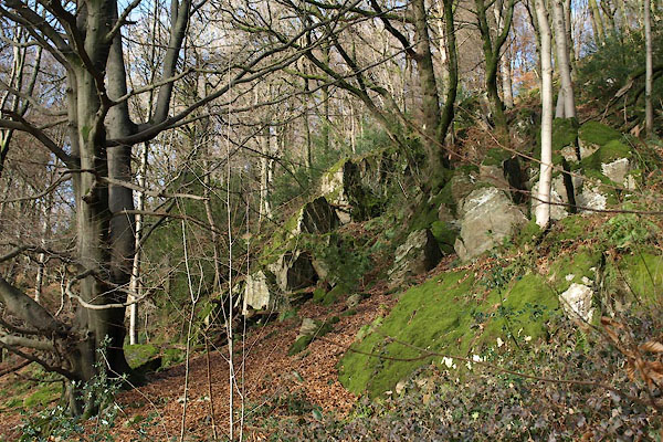 BTZ46.jpg (taken 1.2.2011) 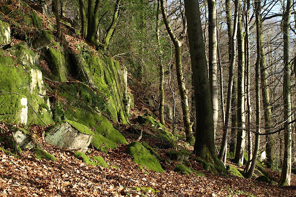 BTZ50.jpg (taken 1.2.2011) |
||
|
|
||
| evidence:- | old map:- OS County Series (Wmd 33 6) placename:- Craggypark Plantation |
|
| source data:- | Maps, County Series maps of Great Britain, scales 6 and 25
inches to 1 mile, published by the Ordnance Survey, Southampton,
Hampshire, from about 1863 to 1948. |
|
|
|
||
| hearsay:- |
Remnant of a deer park of the 12th to 14th centuries. |
|
| The lower part of the wood seems to be mostly mature beech wood. |
||
|
|
||
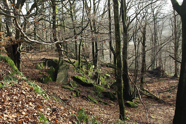 BTZ49.jpg (taken 1.2.2011) |
||
|
|
||
 Lakes Guides menu.