 Old Cumbria Gazetteer
 |
 |
|
| Crag Brow, Bowness-on-Windermere | ||
| Crag Brow | ||
| Street:- | Langrigge Drive | |
| locality:- | Bowness-on-Windermere | |
| civil parish:- | Windermere (formerly Westmorland) | |
| county:- | Cumbria | |
| locality type:- | buildings | |
| locality type:- | inn | |
| coordinates:- | SD40459695 | |
| 1Km square:- | SD4096 | |
| 10Km square:- | SD49 | |
| references:- | Listed Buildings 2010 |
|
|
|
||
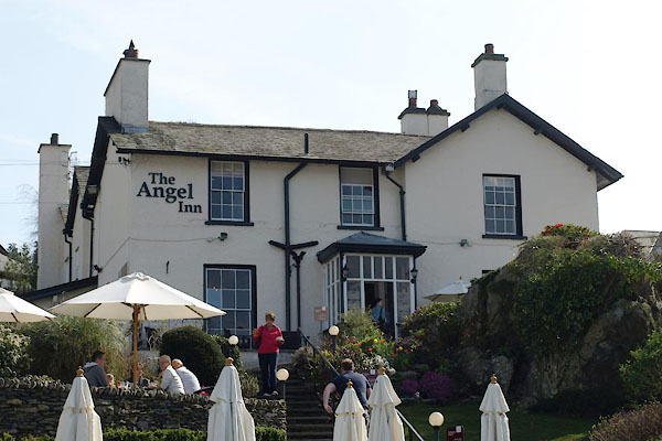 BWE27.jpg (taken 30.3.2012) |
||
|
|
||
| evidence:- | old map:- OS County Series (Wmd 32 11) placename:- Crag Brow |
|
| source data:- | Maps, County Series maps of Great Britain, scales 6 and 25
inches to 1 mile, published by the Ordnance Survey, Southampton,
Hampshire, from about 1863 to 1948. |
|
|
|
||
| evidence:- | database:- Listed Buildings 2010 placename:- Crag Brow |
|
| source data:- | courtesy of English Heritage "CRAG BROW / / LANGRIDGE DRIVE / WINDERMERE TOWN / SOUTH LAKELAND / CUMBRIA / II / 351717 / SD4045696957" |
|
|
|
||
 Lakes Guides menu.