 Old Cumbria Gazetteer
 |
 |
|
| Cowbound Lane, Orton S | ||
| Cowbound Lane | ||
| locality:- | Cowbound | |
| civil parish:- | Orton S (formerly Westmorland) | |
| county:- | Cumbria | |
| locality type:- | track | |
| coordinates:- | NY65100394 (etc) | |
| 1Km square:- | NY6503 | |
| 10Km square:- | NY60 | |
|
|
||
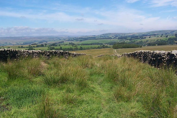 BTJ10.jpg (NB the track in the distance is not part of the lane.) (taken 16.8.2010) |
||
|
|
||
| evidence:- | old map:- OS County Series (Wmd 29 5) placename:- Cowbound Lane |
|
| source data:- | Maps, County Series maps of Great Britain, scales 6 and 25
inches to 1 mile, published by the Ordnance Survey, Southampton,
Hampshire, from about 1863 to 1948. |
|
|
|
||
 Lakes Guides menu.