 Old Cumbria Gazetteer
 |
 |
|
| Cark House, Cark | ||
| Cark House | ||
| locality:- | Cark | |
| civil parish:- | Lower Holker (formerly Lancashire) | |
| county:- | Cumbria | |
| locality type:- | buildings | |
| coordinates:- | SD36117656 | |
| 1Km square:- | SD3676 | |
| 10Km square:- | SD37 | |
| references:- | Listed Buildings 2010 |
|
|
|
||
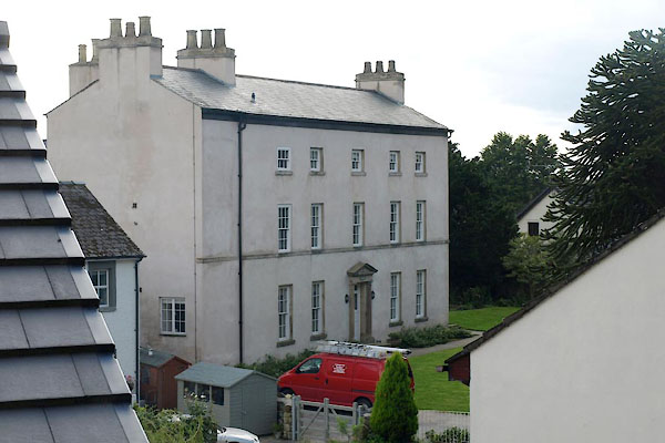 BXK08.jpg (taken 21.9.2012) |
||
|
|
||
| evidence:- | old map:- OS County Series (Lan 17 6) placename:- Cark House |
|
| source data:- | Maps, County Series maps of Great Britain, scales 6 and 25
inches to 1 mile, published by the Ordnance Survey, Southampton,
Hampshire, from about 1863 to 1948. |
|
|
|
||
| evidence:- | database:- Listed Buildings 2010 placename:- Cark House item:- date stone (1689) |
|
| source data:- | courtesy of English Heritage "CARK HOUSE / / / LOWER HOLKER / SOUTH LAKELAND / CUMBRIA / II / 77055 / SD3611276560" |
|
|
|
||
 Lakes Guides menu.