 Old Cumbria Gazetteer
 |
 |
|
| Canon Winder Hall, Lower Holker | ||
| Canon Winder Hall | ||
| Street:- | Winder Lane | |
| civil parish:- | Lower Holker (formerly Lancashire) | |
| county:- | Cumbria | |
| locality type:- | buildings | |
| coordinates:- | SD35147471 | |
| 1Km square:- | SD3574 | |
| 10Km square:- | SD37 | |
| references:- | Listed Buildings 2010 |
|
|
|
||
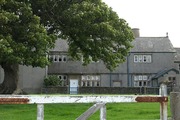 BZA80.jpg (taken 9.8.2013) 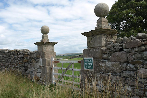 BZA81.jpg Gate piers. (taken 9.8.2013) |
||
|
|
||
| evidence:- | old map:- Otley 1818 placename:- Winder |
|
| source data:- | Map, uncoloured engraving, The District of the Lakes,
Cumberland, Westmorland, and Lancashire, scale about 4 miles to
1 inch, by Jonathan Otley, 1818, engraved by J and G Menzies,
Edinburgh, Scotland, published by Jonathan Otley, Keswick,
Cumberland, et al, 1833.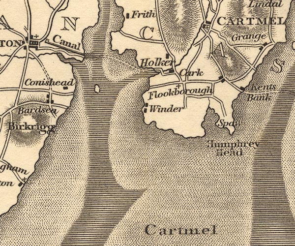 OT02SD37.jpg item:- JandMN : 48.1 Image © see bottom of page |
|
|
|
||
| evidence:- | database:- Listed Buildings 2010 placename:- Canon Winder Hall |
|
| source data:- | courtesy of English Heritage "CANON WINDER HALL / / WINDER LANE / LOWER HOLKER / SOUTH LAKELAND / CUMBRIA / II[star] / 77085 / SD3514774718" |
|
|
|
||
| evidence:- | database:- Listed Buildings 2010 |
|
| source data:- | courtesy of English Heritage "GATEPIERS APPROXIMATELY 30 METRES TO EAST OF CANON WINDER FARMHOUSE / / WINDER LANE / LOWER HOLKER / SOUTH LAKELAND / CUMBRIA / II / 77086 / SD3511374734" |
|
|
|
||
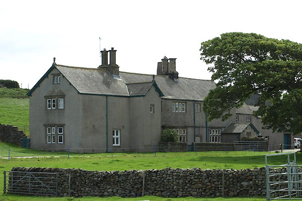 BZA82.jpg (taken 9.8.2013) |
||
|
|
||
 Lakes Guides menu.