 Old Cumbria Gazetteer
 |
 |
|
| building, Grange-over-Sands | ||
| Street:- | Hampsfell Road (?) | |
| locality:- | Grange-over-Sands | |
| civil parish:- | Grange-over-Sands (formerly Lancashire) | |
| county:- | Cumbria | |
| locality type:- | buildings | |
| locality type:- | abbatoir (once?) | |
| locality type:- | fire station (?site) | |
| coordinates:- | SD40687794 | |
| 1Km square:- | SD4077 | |
| 10Km square:- | SD47 | |
|
|
||
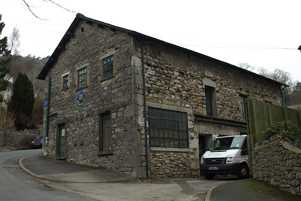 BUD69.jpg (taken 4.3.2011)  BUD70.jpg Date stone:- "S . N / 1845" (taken 4.3.2011) |
||
|
|
||
 Lakes Guides menu.