 Old Cumbria Gazetteer
 |
 |
|
| Brimfull Beck | ||
| runs into:- |  Over Beck Over Beck |
|
|
|
||
| locality:- | High Fell | |
| civil parish:- | Nether Wasdale (formerly Cumberland) | |
| county:- | Cumbria | |
| locality type:- | river | |
| 1Km square:- | NY1608 (etc) | |
| 10Km square:- | NY10 | |
|
|
||
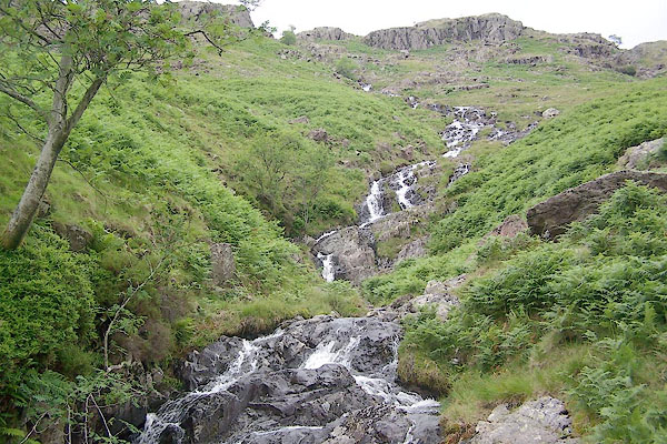 BTF15.jpg (taken 13.7.2010) 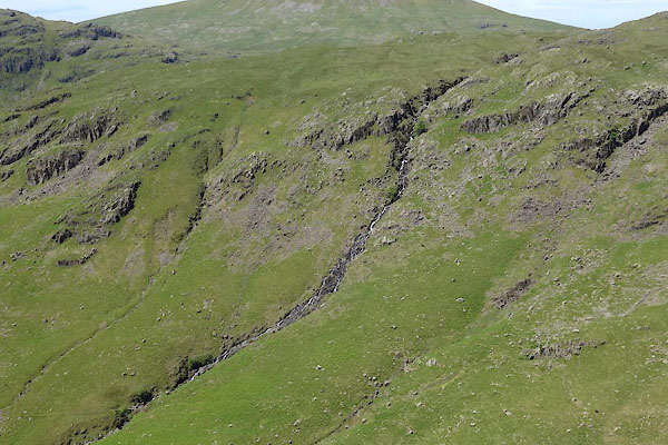 BYO54.jpg (taken 18.6.2013) |
||
|
|
||
| evidence:- | old map:- OS County Series (Cmd 74 10) placename:- Brimfull Beck |
|
| source data:- | Maps, County Series maps of Great Britain, scales 6 and 25
inches to 1 mile, published by the Ordnance Survey, Southampton,
Hampshire, from about 1863 to 1948. |
|
|
|
||
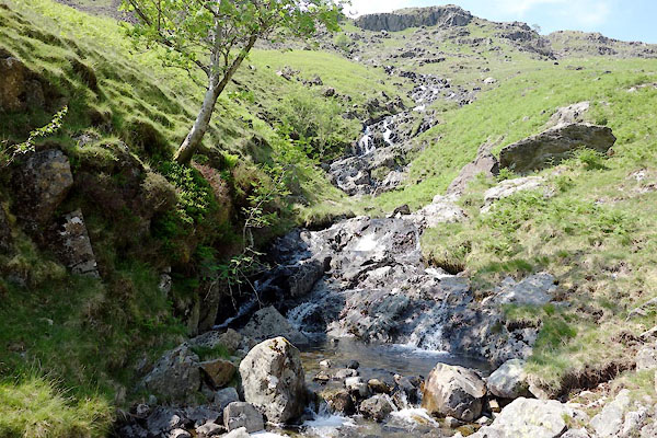 BYO55.jpg (taken 13.7.2010) |
||
|
|
||
Lakes Guides menu.