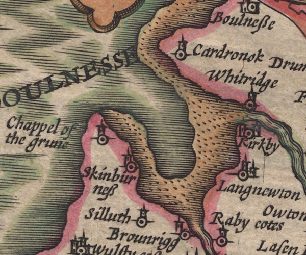


placename:- Boulnesse

SP11NY15.jpg
"BOULNESSE"
headland
item:- private collection : 16
Image © see bottom of page
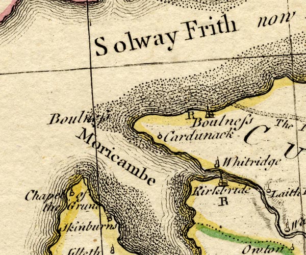
placename:- Boulness

BO18NY15.jpg
"Boulness"
headland
item:- Armitt Library : 2008.14.10
Image © see bottom of page
 Old Cumbria Gazetteer
 |
 |
   |
| Bowness Point, Bowness | ||
| Bow Ness | ||
| civil parish:- | Bowness (formerly Cumberland) | |
| county:- | Cumbria | |
| locality type:- | headland, imagined | |
| 1Km square:- | NY1160 (?) | |
| 10Km square:- | NY16 | |
| references:- | Speed 1611 |
|
|
|
||
| evidence:- | old map:- Speed 1611 (Cmd) placename:- Boulnesse |
|
| source data:- | Map, hand coloured engraving, Cumberland and the Ancient Citie
Carlile Described, scale about 4 miles to 1 inch, by John Speed,
1610, published by J Sudbury and George Humble, Popes Head
Alley, London, 1611-12. SP11NY15.jpg "BOULNESSE" headland item:- private collection : 16 Image © see bottom of page |
|
|
|
||
| evidence:- | old map:- Bowen and Kitchin 1760 placename:- Boulness |
|
| source data:- | Map, hand coloured engraving, A New Map of the Counties of
Cumberland and Westmoreland Divided into their Respective Wards,
scale about 4 miles to 1 inch, by Emanuel Bowen and Thomas
Kitchin et al, published by T Bowles, Robert Sayer, and John
Bowles, London, 1760. BO18NY15.jpg "Boulness" headland item:- Armitt Library : 2008.14.10 Image © see bottom of page |
|
|
|
||
| notes:- |
I have found no evidence for a headland called Bow Ness on old maps or charts, as
yet. Perhaps it's washed away! |
|
|
|
||
 Lakes Guides menu.