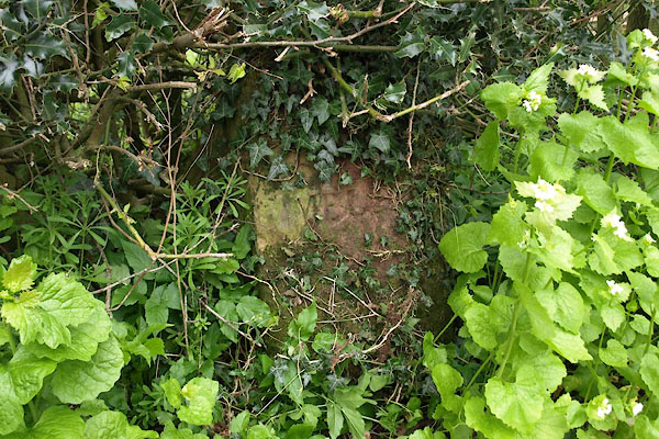


BWH97.jpg (taken 4.5.2012)

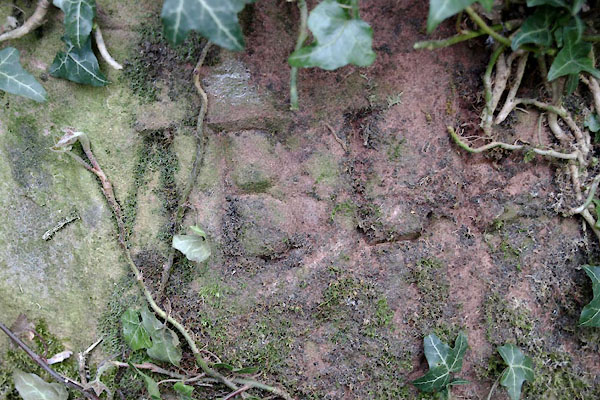
BWH98.jpg "[ ]MBL[E ]" (taken 4.5.2012)
courtesy of English Heritage
"BOUNDARY STONE OPPOSITE CLOSE FARMHOUSE / / / EMBLETON / ALLERDALE / CUMBRIA / II / 72662 / NY1829230739"
courtesy of English Heritage
"Parish boundary stone. Mid C19. Rounded-top stone inscribed on front EMBLETON."

 Lakes Guides menu.