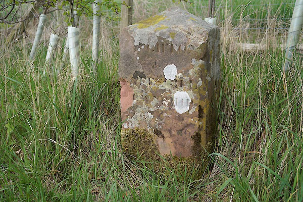


CEX59.jpg (taken 22.4.2016)
courtesy of English Heritage
"BOUNDARY STONE ON THE IVEGILL ROAD SOUTH EAST OF STOCKDALEWATH / / / DALSTON / CARLISLE / CUMBRIA / II / 78351 / NY3954444789"
courtesy of English Heritage
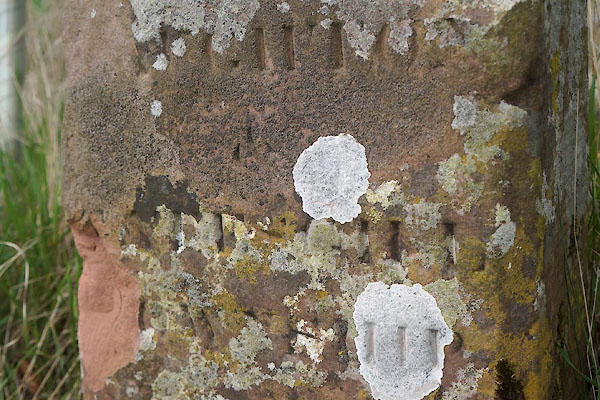
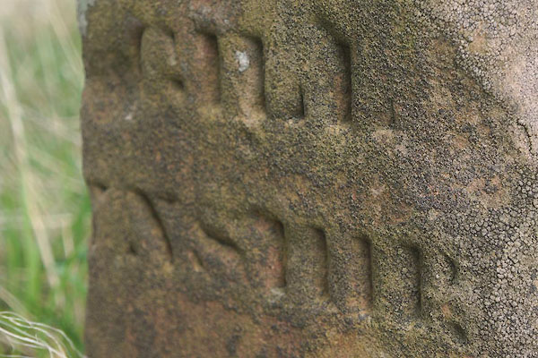
"Parish boundary stone. Probably early C19. Red sandstone. Squared stone with pyramidal top with inscription to front RAUGHTON &GATESGILL TOWNSHIP and to the side IVEGILL TOWNSHIP (partly cut away). Moved from its original position in the adjacent field to the roadside by the County Council in 1975 to ensure its preservation."

CEX60.jpg (taken 22.4.2016)

CEX61.jpg (taken 22.4.2016)

 Lakes Guides menu.