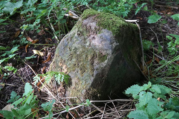


CFL95.jpg (taken 7.9.2016)
courtesy of English Heritage
"CITY BOUNDARY STONE AT NY 3993 5645 / / WEAVERS BANK / CARLISLE / CARLISLE / CUMBRIA / II / 386910 / NY3991956448"
courtesy of English Heritage
"City boundary stone. 1830s or 1840s. Calciferous sandstone. Square stone with flattened top set into the ground. Inscribed on 2 faces C.C. (City of Carlisle) and on another face DIXON (the then Mayor); the lettering is partly cut away by angle flaking. The only surviving boundary stone of this period when the city boundary was extended to the south bank of the River Eden. As leave was sought by the city to mark the boundary on Eden Bridge in 1836 (Carlisle Journal 2 July 1836) it is possible that this stone was erected during the Mayoral office of Peter Dixon in 1838; however, a number of members of the Dixon family were Mayors up to 1853. The stone appears in this position on the 1865 OS map of the city."

 Lakes Guides menu.